Time To Rethink Aloe Plaza
Eighty-three years ago today a new urban plaza was opened across Market Street from Union Station. The decennial census taken the previous month would later show the city’s population had declined slightly.
St. Louisans of the 1930s removed the buildings, businesses, and activity from across Union Station. It was what people first saw upon arrival, they wanted beauty instead of what they viewed as clutter and illicit activity. Passive over bustling. They were successful…too successful.
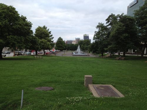
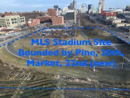
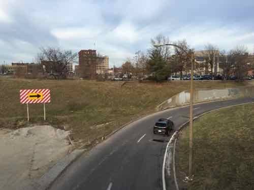
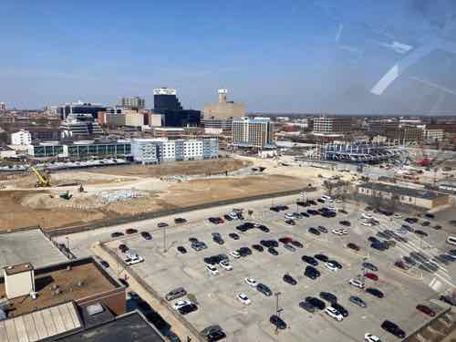
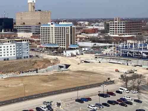
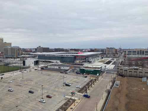
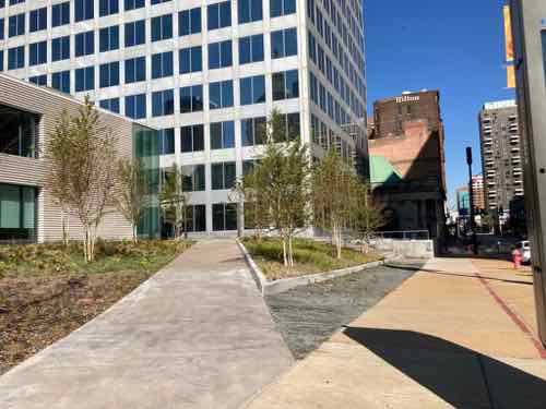
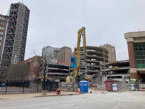
For a good 70 years the west end of Aloe Plaza is what motorists saw as they exited the highway, ending up at 20th & Chestnut. Now with CITYPARK, our new MLS stadium replacing the on/off ramps, the situation west of Aloe Plaza is entirely different.
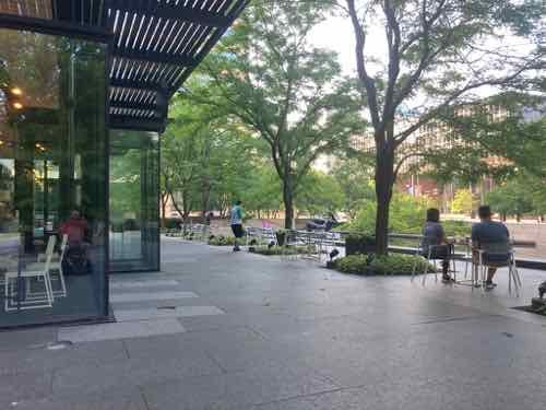
20th Street is closed for a block party before matches, porta-potties are lined up nearby. To the west is the start of the Brickline Greenway, a 2-way cycle track plus a wide pedestrian path. This needs to continue east and the two blocks of Aloe Plaza are next.
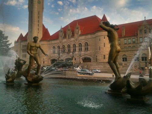
The space has some very large old trees. I’m not an arborist so I can’t say they’re worth keeping, or not. The ’Meeting of the Waters’ fountain by Carl Milles is certainly sacred, though in desperate need of a new basin.
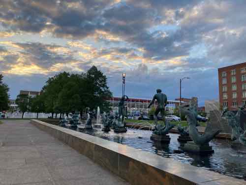
I’d love to see something happen (charrette, competition, etc) to gather ideas on how to turn this passive two-block long public park into an exciting new public space that includes the fountain in the same or different place. Does the fountain need to be centered on Union Station? Must it be parallel to Market Street? Among many questions we should ask ourselves.
One thing I see as a must-have amenity is a public restroom. The entire region needs these where we expect tourists, people cycling/walking, and such. Not inside a nearby business — a highly visible kiosk structure that opens directly to the sidewalk. These can be self-cleaning, the ones I used in San Francisco last fall were wonderful.
I can also imagine a structure(s) for food, beverage, events, and such.
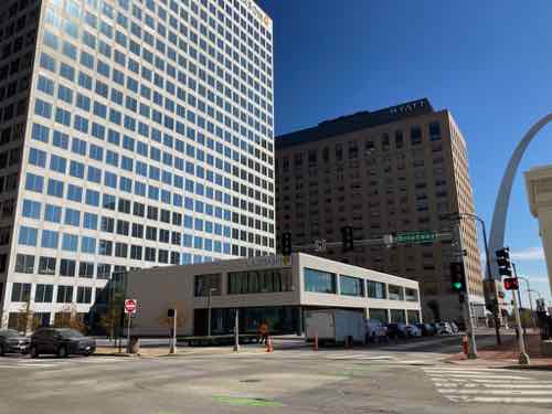
I’m not sure about the name Aloe Plaza. It made sense in 1940 as the former president of the board of aldermen, Louis B. Aloe, had died just over a decade before. Aloe was instrumental in a 1923 bond issue — a century ago. Aloe, the bond issue, the businesses displaced, etc should all be represented in the new space. I’m just not sure the name for the last 83 years should carry forward.
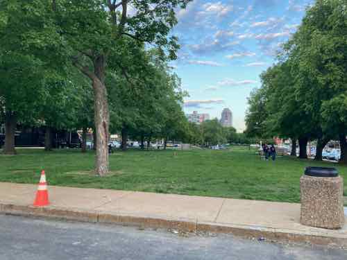
The entire two block park bounded by Market, 18th, Chestnut, and 20th needs to be rethought, reimagined for the 21st century.
— Steve
————————————————————————
St. Louis urban planning, policy, and politics @ UrbanReviewSTL since October 31, 2004. For additional content please consider following on Facebook, Instagram, Mastodon, Threads, Bluesky, and/or X (Twitter).