Rethinking Chariton Square
In May of last year I posted about a drive-in theater that replaced a quarry, itself soon replaced by I-55 (see May 26, 1954: South Broadway Drive-In Theater Opened).
In that post I indicated I would do a followup on ideas for the tired auto-centric Chariton Square strip shopping center:
In the coming weeks I’ll take a look at the commercial development along this stretch of Broadway and share my concept for an urban redevelopment.
But I got married a week later and never got to it. Recently a friend inquired about my ideas so here they are…finally. Before I get into my solution I want to show you some of the problems I hope to solve.
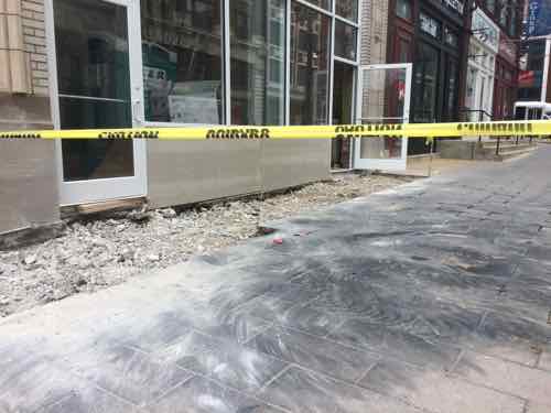
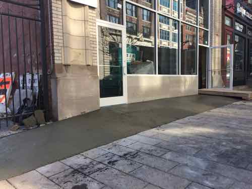
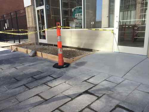
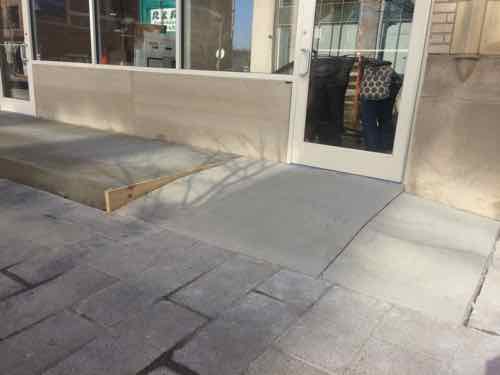
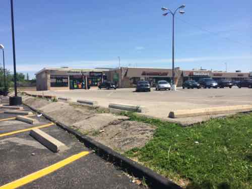
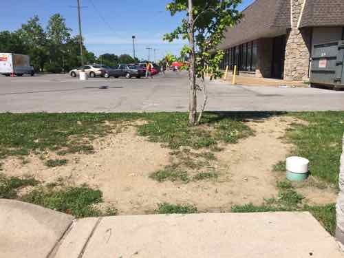
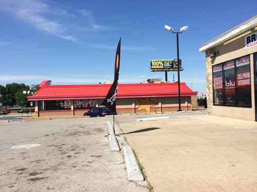
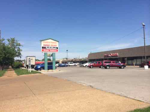
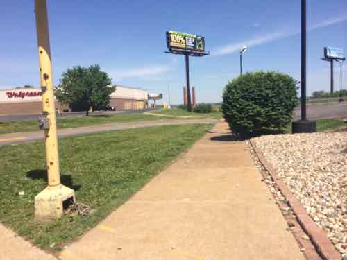
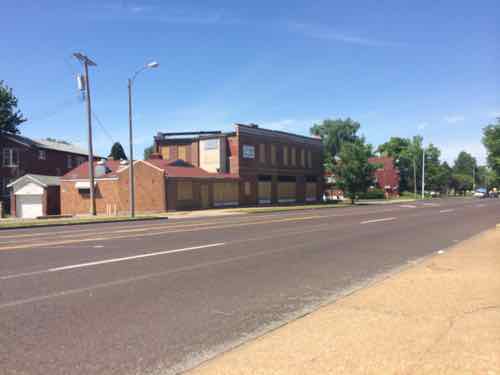
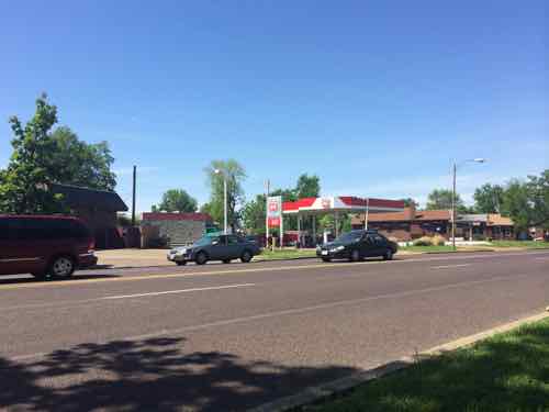
THE PROBLEM
ONE SOLUTION
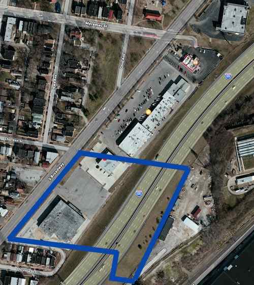
Let me preface this by saying this is a rough digital napkin sketch about what I think could physically be built to replace the existing strip shopping center. The intent is to trigger people’s imagination to see this as potentially being redeveloped in a different manner than it has been for the last half century. The only other vision I’ve seen put forward was as a park-n-ride lot for a light rail line, see Northside-Southside Light Rail Wouldn’t Be Good For St. Louis Neighborhoods.
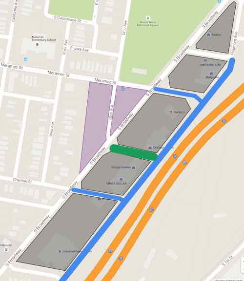
Lt Green: existing park space
Gray: new buildings
Purple: existing green space to consider developing
BLUE LINE: New public street, extensions of existing street grid
DK GREN LINE: New common plaza
Click image to view in Google Maps
NOTES:
- The best streets have a similar building type across the street, which is hard to accomplish in this narrow site. The extensions of Chariton & Meramec would help create quality urban faces on opposite sides of s street.
- Building on the open areas (purple) would help with changing the feel of Broadway.
- Broadway and all newly extended streets would have parking on both sides — angled on Broadway and Piedmont Ave parallel to I-55.
- Narrow drive lanes and curb bulbs would allow vehicular traffic to move but also be pedestrian-friendly. Protected bike lanes are possible on Broadway.
- The proposed buildings wouldn’t be monolithic masses, these might be several buildings within that newly created block. They might be separated by pedestrian-only street parallel to Broadway & I-55, depending upon the depth of the property. They might have structured parking in the middle surrounded by habitable building on all sides.
- The natural slope down to the highway would help facilitate a level of parking under some/most of the new buildings.
- A streetcar/BRT line could loop around this project. A light rail stop could be in the center of Broadway.
- The site has excellent highway visibility. Some taller buildings might have good views of the Mississippi River.
Again, this is a rough sketch of an idea that’s been bouncing around in my head. I wouldn’t expect anything to get built exactly as I’ve indicated. I would like to see residers of the 9th & 20th Wards to work on planning for the future of this area — coming up with a form-based overlay to guide what they’d like to see this become over the next 20-50 years.
— Steve Patterson