Celebrating Blog’s 19th Anniversary


  Nineteen year ago I started this blog as a distraction from my father’s heart attack and slow recovery. It was late 2004 and social media & video streaming apps didn’t exist yet — or at least not widely available to the general public. Blogs were the newest means of …

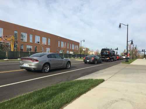
Thoughts on NGA West’s Upcoming $10 Million Dollar Landscaping Project


  The new NGA West campus , Jefferson & Cass, has been under construction for a few years now. Next NGA West is a large-scale construction project that will build a new facility for the National Geospatial-Intelligence Agency in St. Louis, Missouri.This $1.7B project is managed by the U.S. Army …

Four Recent Books From Island Press


  Book publisher Island Press always impresses me with thoughtful new books written by people working to solve current problems — the subjects are important ones for urbanists and policy makers to be familiar and actively discussing. These four books are presented in the order I received them. ‘Justice and …

New Siteman Cancer Center, Update on my Cancer


  This post is about two indirectly related topics: the new Siteman Cancer Center building under construction on the Washington University School of Medicine/BJC campus and an update on my stage 4 kidney cancer. Let’s deal with the latter first. You may have noticed I’ve not posted in three months, …

Recent Articles:

The ‘Great Streets’ Project on Natural Bridge, Part 2


Natural Bridge received a ‘Great Streets’ road diet and makeover, yesterday I looked at the North side from Lucas & Hunt to Hanley Rd — see Part 1. My May 2012 visit was exactly four years ago today.

In today’s post we’ll look at the South side on the return trip.
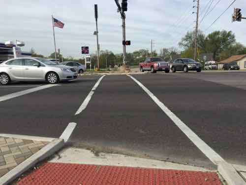
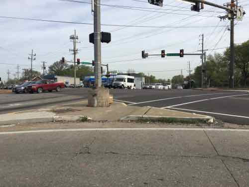
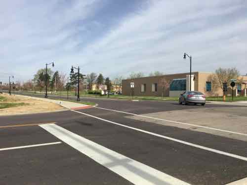
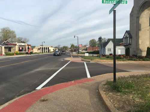
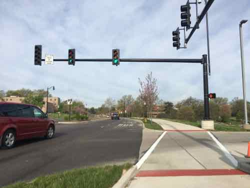
At new curb ramp looking from the NE corner South across Natural Bridge

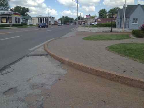
But nothing was changed at the SE corner, the right turn cur off should've been eliminated
But nothing was changed at the SE corner, the right turn cur off should’ve been eliminated

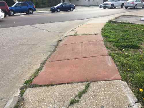
The "ramp" on the side isn't remotely close to being AFA-compliant
The “ramp” on the side isn’t remotely close to being AFA-compliant

Looking West toward Hanley in 2012

And now pedestrians have more room

This was one of the worst areas I encountered in 2012

Now there's parallel street parking. a clear pedestrian path, and room for patio tables
Now there’s parallel street parking. a clear pedestrian path, and room for patio tables

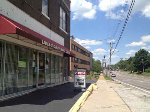
There still isn't a ramp into the building. The owners retired last year, the next person who operates a business here will need to figure out wheelchair access. Click image for article on the closing.
There still isn’t a ramp into the building. The owners retired last year, the next person who operates a business here will need to figure out wheelchair access. Click image for article on the closing.

This is the point where the woman crossed with her child that I showed in yesterday's post
This is the point where the woman crossed with her child that I showed in yesterday’s post

Leave MetroLink for the school across Natural Bridge, the nearest crossing is out of view to the left

Which brings us to the UMSL South MetroLink/MetroBus station. From a 2012 study:

The Station is somewhat remote and largely surrounded by the University. People using Natural Bridge Road – either in cars or on foot – are not able to see the Station from Natural Bridge and vehicular access
is not obvious. As mentioned previously, the Station is also inaccessible from properties immediately east and requires passengers to enter via Natural Bridge and East Drive. Lacking even basic restroom facilities, the Station is very austere and does not encourage riders to linger. Currently, there are 680 parking spaces at the Station and excess parking capacity is the norm. One area resident noted that he “loves the stop because no one knows about it. [He] can pull right up, park, and hop on the train.”

While basic transit connectivity exists via the existence of the UMSL South Station, rider connectivity to Natural Bridge Road and to the east needs to be enhanced to better support the community and Metro ridership. Through development at and around this Station, the Station will achieve greater visibility, and riders will have an increased sense of the built environment and a greater sense of security. (Urban Land Institute, St. Louis)

In my 2012 post I looked at the poor connection to transit from Natural Bridge — an indirect 2/10ths of a mile!
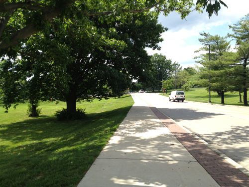
The sidewalk on the east side of UMSL's South Drive will lead you to the light rail station
The sidewalk on the east side of UMSL’s South Drive will lead you to the light rail station

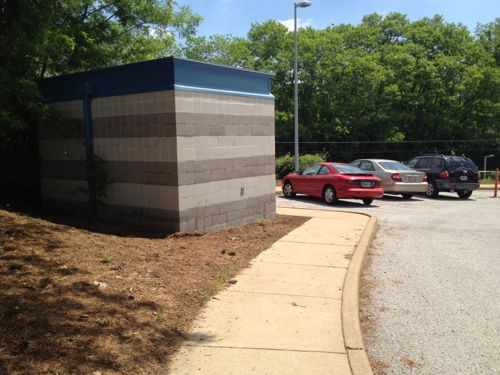
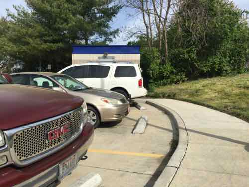
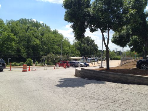
Once visible the most direct path is through an unfriendly park-n-ride lot

The pedestrian route takes an unpleasant circuitous route

Let’s take a look at how this has changed. Sadly, it hasn’t.
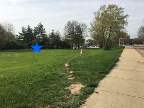
The blue star on the left indicates the approximate location of the destination. Able-bodied pedestrians have worn a more direct route but the rest of us must follow the official route to the right

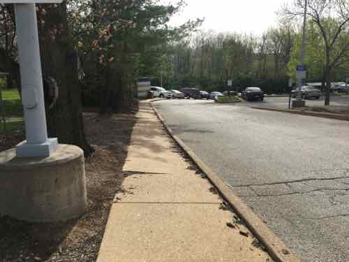
The sidewalk isn't wide enough for one person, has tilted. This was built in 1993 -- was designed to meet the bare minimum
The sidewalk isn’t wide enough for one person, has tilted. This was built in 1993 — was designed to meet the bare minimum

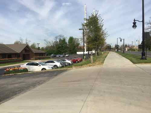
This view is leaving the station looking toward Natural Bridge. The sidewalk should be wider and go off to the right for a direct route to Natural Bridge. The grade isn't the big deal you might be thinking it is
This view is leaving the station looking toward Natural Bridge. The sidewalk should be wider and go off to the right for a direct route to Natural Bridge. The grade isn’t the big deal you might be thinking it is

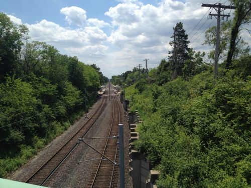
From Natural Bridge we can see the station and how the grade drops off. Excess soil can be used on the East side of the station

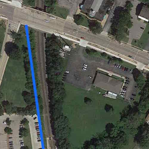
The blue line represents a straight path from station to Natural Bridge. The remaining triangle cam be a pocket p;ark and/or a mixed-use TOD site. Click image to view in Google Maps

The 2012 ULI study totally missed the straightforward opportunity to connect to Natural Bridge. They focused on development of the underutilized site to the East of the station, right above. From the 2012 ULI study:

To create the destination development and a corridor of mixed use, the Panel recommends building a new street from Natural Bridge Road south through the City Hall property. The new street would terminate in an event space due east of the UMSL South Station. The Station would connect to the new development via a pedestrian walkway or bridge. To rebrand the area and create the much-desired sense of place, the area would be named Plank Street Station and would encompass the UMSL South Station, rebranded Plank Street Station. “Plank Street” gives a nod to the history of Natural Bridge road, yet should not bring to mind any existing negative references. Through the use of one brand name for the development area, a new name without existing negative connotations, development and investment in the area might be more easily realized.

The University, MetroLink station, and neighborhood surrounding Plank Street Station would benefit from the development’s amenities and provide additional support for the development. In addition to on-street parking and parking in the existing MetroLink lot, the land north of the existing Station could be utilized for parking for Plank Street Station via a new parking garage. To the south of the new Plank Street, the driving range could become a mix of residential uses and could provide a direct connection to the Station for members Glen Echo Country Club. Within the neighborhood to the east of Plank Street, access to the Plank Street residential area component and the Country Club could be realized via an improved Oakmont Street.

The Plank Street Station entertainment district becomes a critical amenity for the University, attracting and retaining students and professional staff and sheltering its student housing flank and investment.

The ULI wants a pedestrian bridge over the tracks? Why? There is a platform on each side with a walkway between them across the tracks. All that’s needed it to develop the land to the East and connect to the existing Northbound platform.  Ok, let’s look at the Normandy City Hall just East of the MetroLink light rail tracks.
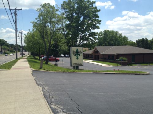
Looking East in 2012, the grade change makes a level of parking under a building(s) worth considering

Now looking West from the other driveway, toward UMSL and MetroLink

A variety of surfaces at different levels in 2012

Much better now
Much better now

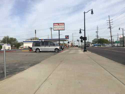
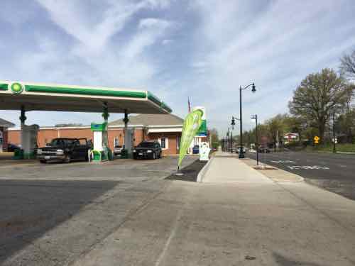
At this gas station there is clear physical separation between the public sidewalk and drive for the gas pumps. This is important for maintaining pedestrian space

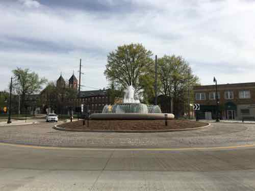
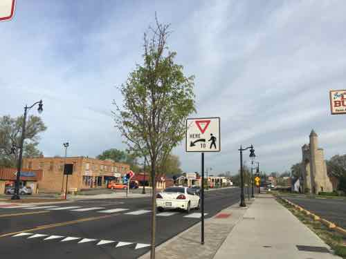
Back at the new fountain at the circle where Florissant Rd meets Natural Bridge, this commercial district is known as The Wedge

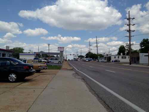
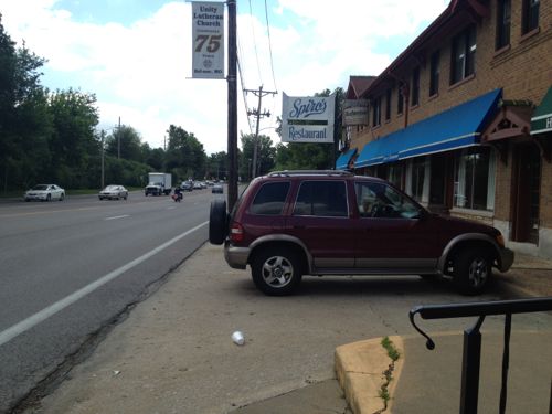
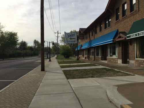
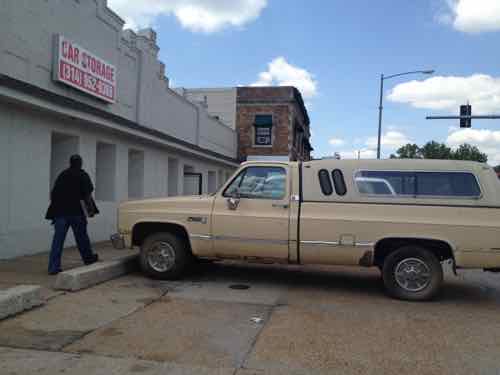
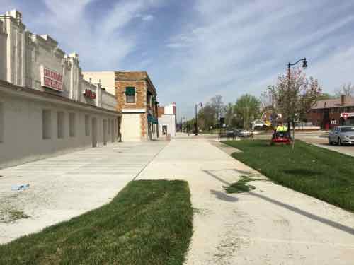
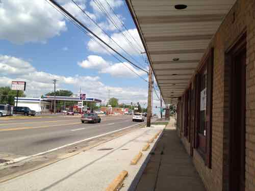
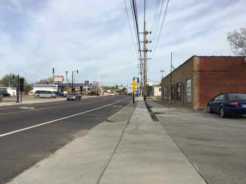
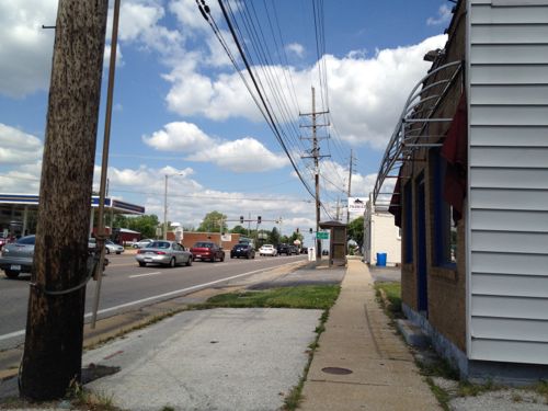
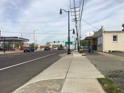
In 2012 the buildings along the South side were fronted by parking, no clear pedestrian sidewalk

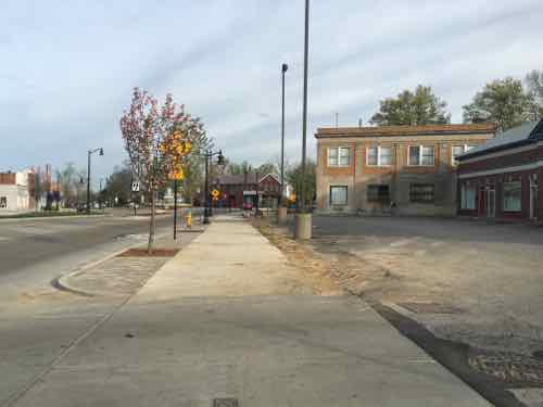
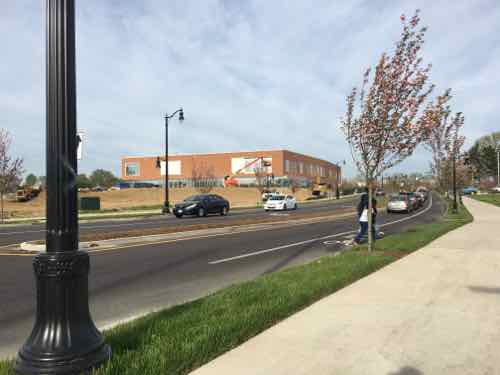
Today it's dramatically different! Hoping cafes open so I can return and eat outside
Today it’s dramatically different! Hoping cafes open so I can return and eat outside

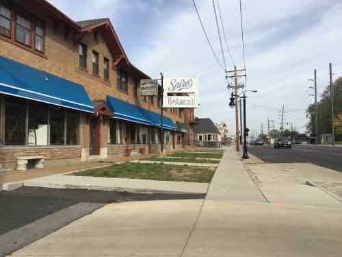
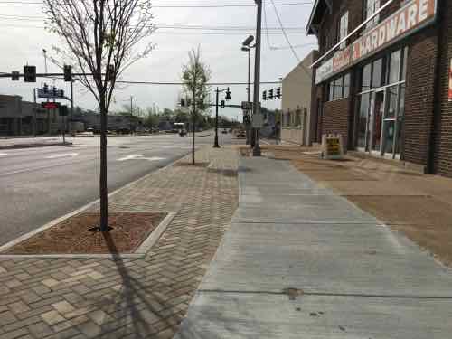
Looking East toward Lucas & Hunt, wider sidewalk with trees. What's hard to see in person and it pictures the right rises up higher than the left side
Looking East toward Lucas & Hunt, wider sidewalk with trees. What’s hard to see in person and it pictures the right rises up higher than the left side

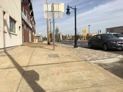
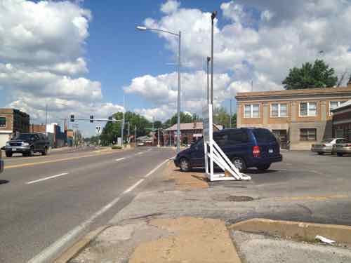
Looking back West we see the new lower sidewalk stops short pf the corner, which is already filling with debris. If in a wheelchair on the new/lower section you'd need to return to the split and take the old to reach the corner
Looking back West we see the new lower sidewalk stops short pf the corner, which is already filling with debris. If in a wheelchair on the new/lower section you’d need to return to the split and take the old to reach the corner

Tomorrow I’ll recap, add some additional thoughts, and discuss differing options I’ve received about this project.

— Steve Patterson
The ‘Great Streets’ Project on Natural Bridge, Part 1


In May 2012 I posted about a plan to make a stretch of Natural Bridge in St. Louis County less hostile to pedestrians, see Redeveloping Natural Bridge & The UMSL South MetroLink Station.  Natural Bridge was to become one of East-West Gateway’s “Great Streets Initiative“:

Great Streets are representative of their places. A Great Street reflects the neighborhood through which it passes and has a scale and design appropriate to the character of the abutting properties and land uses.

Great Streets allow people to walk comfortably and safely. The pedestrian environment on, along and near the street is well?designed and well?furnished. The relationship between the street and its adjacent buildings is organic, conducive to walking, and inviting to people.

Great Streets contribute to the economic vitality of the area. Great Streets facilitate the interaction of people and the promotion of commerce. They serve as destinations, not just transportation channels. They are good commercial addresses and provide location value to businesses that power the local economy.

Great Streets are functionally complete. Great Streets support balanced mobility with appropriate provision for safe and convenient travel by all of the ground transportation modes: transit, walking, bicycling, personal motor vehicles and freight movement.

Great Streets provide mobility. Great Streets strike an appropriate balance among the three elements of modern mobility: through travel, local circulation and access. The right balance varies with the function of the street and the character of its neighborhoods and abutting properties.

Great Streets facilitate placemaking. Great Streets incorporate within them places that are memorable and interesting. These may include plazas, pocket parks, attractive intersections and corners, or simply wide sidewalks fostering an active street life.

Great Streets are green. Great Streets provide an attractive and refreshing environment by working with natural systems. They incorporate environmentally sensitive design standards and green development techniques, including generous provision of street trees and other plantings and application of modern storm water management practices. (From Natural Bridge study)

For that 2012 post I traveled about 3.5 miles as a pedestrian in my wheelchair. I started on the North side of Natural Bridge, just East of Lucas & Hunt, traveled Westbound to Hanley, then returned on the South side of Natural Bridge. See map.

Last month, on April 18th, I repeated this journey. Today’s post, part 1, will compare & contrast my experience as a pedestrian from Lucas & Hunt to Hanley Rd. Tomorrow, part 2 will do the same from Hanley back to Lucas & Hunt. Part 3, on Wednesday, will summarize and discuss positive & negative feedback received from readers who use the area on a daily basis.

In my 2012 post I used only 25 of the 382 photos I took, last month I took only 151.

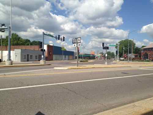
In 2012 the places to cross Natural Bridge were very limited, but that has changed

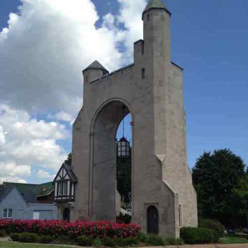
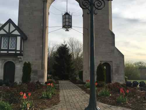
In 2012 I didn't talk about the historic Pasadena Hills subdivision, or the beautiful entrance marker
In 2012 I didn’t talk about the historic Pasadena Hills subdivision, or the beautiful entrance marker

But I couldn't get past the median -- I had to roll in the Natural Bridge Roadway around this curb!
But I couldn’t get past the median — I had to roll in the Natural Bridge Roadway around this curb!

Now there are no obstacles

In fact, I was able to go through the arch and explore the landscaping maintained by the subdivision.

Approaching Florissant Rd in 2012, the little pedestrian space available was invaded by a vehicle parked on the narrow sidewalk

Now the pedestrian has defined space

In 2012 the intersection of Natural Bridge & Florissant Rd was ugly, confusing to motorists, and a nightmare for pedestrians. It was a non-place.

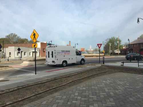
Now it's still confusing to motorists -- some stop rather than yield -- at the circle. For pedestrians it is now easy and safer to cross. More importantly, it now feels like a real place. I hope to see restaurants open with patio seating.
Now it’s still confusing to motorists — some stop rather than yield — at the circle. For pedestrians it is now easy and safer to cross. More importantly, it now feels like a real place. I hope to see restaurants open with patio seating.

Continuing WB in 2012, sidewalks were narrow. There was no accessible connection to adjacent residential neighborhoods on the right

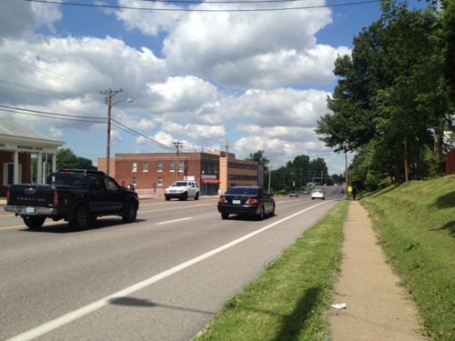
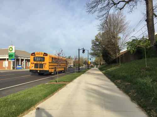
Now sidewalks are generous, pedestrians feel protected from passing vehicles

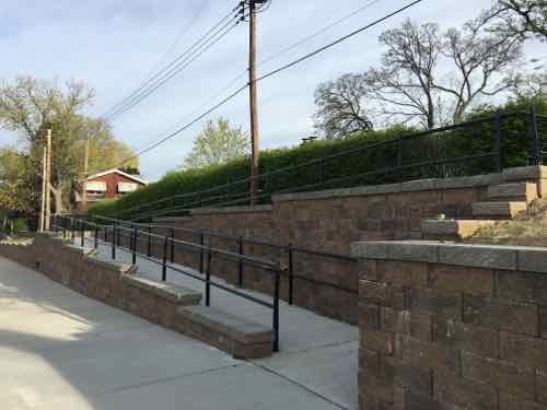
Two ramps now provide access to the houses up the hill. This helps those of us in wheelchairs, but also parents pushing strollers or seniors returning home with groceries

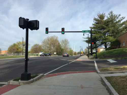
At St Ann's Ln I was confused why pedestrians wouldn't automatically get a WALK signal with traffic on Natural Bridge has a green light
At St Ann’s Ln I was confused why pedestrians wouldn’t automatically get a WALK signal with traffic on Natural Bridge has a green light

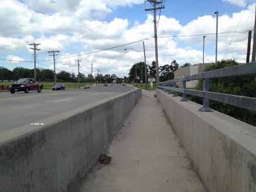
In 2012 the sidewalk on the bridge over the MetroLink light rail tracks was a narrow tunnel

Now it's still narrow, but just less tunnel-like
Now it’s still narrow, but just less tunnel-like

Just after going over the MetroLink tracks I spotted a woman and child cross Natural Bridge at a point without a crossing

It was a mom walking her child to elementary school, they'd come from the UMSL South MetroLink station
It was a mom walking her child to elementary school, they’d come from the UMSL South MetroLink station

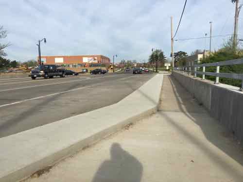
Yes, this project failed to provide a crossing point at a transit hub. D'oh!
Yes, this project failed to provide a crossing point at a transit hub. D’oh!

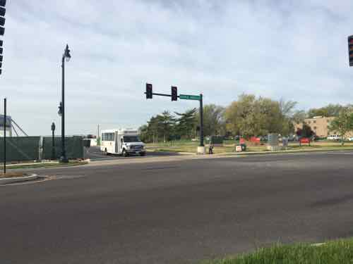
After walking 2/10ths of a mile to reach Natural Bridge, pedestrians going to/from this school are expected to walk another 2/10th of a mile out of their way to cross at this light

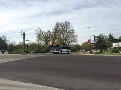
Up at the light we can see extra space for a MetroBus to stop without stopping traffic

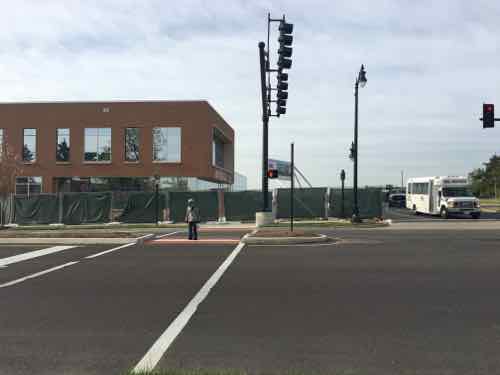
Diagonally across the intersection I noticed a child waiting for the walk signal to cross the side street

Unfortunately, he didn't bother pressing to button to get a walk signal to cross Natural Bridge
Unfortunately, he didn’t bother pressing to button to get a walk signal to cross Natural Bridge

Just after the bus stop I saw where a street tree had been run over, did someone try to pass in the bus area?

Next up was another crossing point. Here the median is wide enough to job the pathway o people are less likely to dart out into traffic on the other side

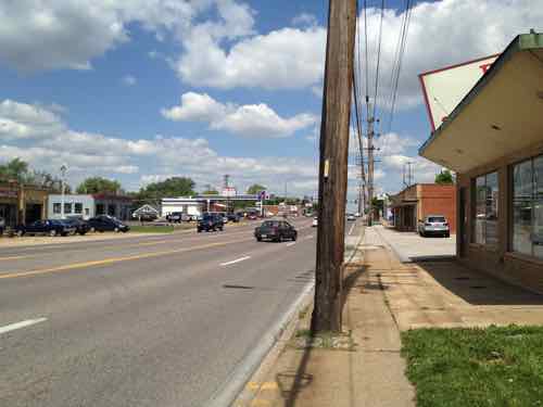
West of UMSL the sidewalks were narrow in 2012

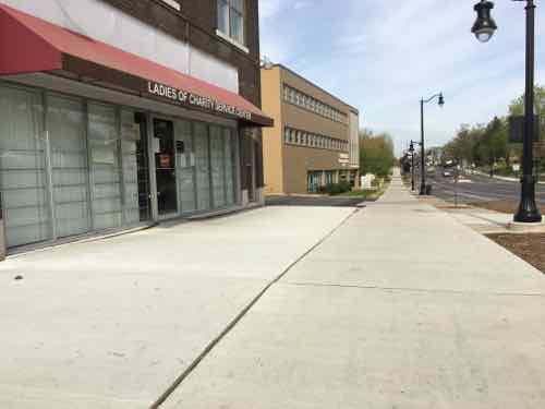
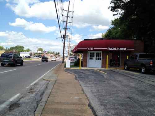
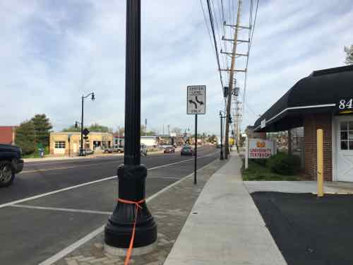
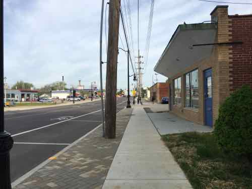
Now the sidewalks are wider and parallel parking exists in this commercial area

In 2012 I was ab;re to get past this building, but it didn't look great
In 2012 I was ab;re to get past this building, but it didn’t look great

Now it looks & functions better

Here's where it became challenging in 2012
Here’s where it became challenging in 2012

And now
And now

In 2012 I had to be up next to this building to continue going west

Now there's more room
Now there’s more room

Looking West toward Hanley Rd, 8519 Natural Bridge was razed between Aug 2012 and September 2014

Like earlier, the sidewalk has switched to the South side of the electric poles.

In 2012 I had to be up against the last building

But this presented issues getting out to the upcoming sidewalk and ramp at Hanley to cross Natural Bridge

No longer an issue
No longer an issue

The actual bus stop is just West of the older bus shelter. The indent of the sidewalk to the right is to give room to load/unload wheelchairs from the bus

Tomorrow will look at the South side of Natural Bridge from Hanley Rd to North & South (map).

— Steve Patterson
 

Sunday Poll: Was Opening A New Baseball Stadium Downtown in 1966 A Mistake?


Please vote below
Please vote below

Fifty years ago today  the final baseball game was played at Sportsman’s Park, aka Busch I, a site where where baseball had been played since 1867. On May 12, 1966 Busch Memorial Stadium, aka Busch II, opened. St. Louis’ Chinatown, called Hop Alley, was razed to make room for Busch II:

The earliest Chinese settlers congregated in an area stretching East and West between Seventh and Eighth Streets, and North and South between Market and Walnut Streets, which became the Chinatown of St. Louis, more commonly known as Hop Alley. Hop Alley was the name of a small alley running between Walnut and Market Streets where most boarding houses and apartment buildings were occupied by Chinese residents. It is not known how this neighborhood came to be called Hop Alley, but the name was widely used in contemporary newspapers and other accounts to represent the Chinese business district in St. Louis downtown where Chinese hand laundries, merchandise stores, grocery stores, herb shops, restaurants, and clan association headquarters were located. (Journal of Urban History January 2002)

One neighborhood was razed, another lost a major employer. Was it worth it?

This non-scientrific poll is open until 8pm tonight. Thursday I’ll post the results and share my views on the topic.

— Steve Patterson
A Great Idea I Need To Get Used To: The Zipper Merge


MoDOTI’ve been driving for thirty-three plus years now, considering myself a good driver most of that time. That said, I’ve recently learned the way most of us merge at lane closures contributes to backups. Minnesota has taken the lead to push The Zipper Merge:

The state of Minnesota began openly advertising the zipper merge in the early 2000s, even including its description in the state’s driver’s manual, but the measure didn’t begin to widely catch on until a few years ago, thanks to a state-wide advertising campaign in both traditional and online platforms. Now Washington state has followed suit to encourage zipper merging as the result of highly publicized construction zones, particularly on bridges that connect Seattle to many tech offices (including Microsoft’s campuses) in Bellevue and Redmond. (Arstechnica)

From Minnesota’s Zipper Merge page:

What is a zipper merge?
When a lane is closed in a construction zone, a zipper merge occurs when motorists use both lanes of traffic until reaching the defined merge area, and then alternate in “zipper” fashion into the open lane.

Zipper merge vs. early merge
When most drivers see the first “lane closed ahead” sign in a work zone, they slow too quickly and move to the lane that will continue through the construction area. This driving behavior can lead to unexpected and dangerous lane switching, serious crashes and road rage.

Zipper merging, however, benefits individual drivers as well as the public at large. Research shows that these dangers decrease when motorists use both lanes until reaching the defined merge area and then alternate in “zipper” fashion into the open lane. Watch a brief video of how it works.

So I’m supposed to merge late?
Yes! As you see the “lane closed ahead” sign and traffic backing up, stay in your current lane up to the point of merge. Then take turns with other drivers to safely and smoothly ease into the remaining lane. Don’t worry about being “Minnesota nice.” When traffic is heavy and slow, it is much safer for motorists to remain in their current lane until the point where traffic can orderly take turns merging.

When not to do the zipper merge
When traffic is moving at highway speeds and there are no backups, it makes sense to move sooner to the lane that will remain open through construction. The bottom line is to merge when it is safe to do so.

Benefits

  • Reduces differences in speeds between two lanes
  • Reduces the overall length of traffic backup by as much as 40 percent
  • Reduces congestion on freeway interchanges
  • Creates a sense of fairness and equity that all lanes are moving at the same rate

Ok, so I tend to get into the open lane early when traffic is still moving — as it says I should. But it’s not that simple — from the first article quoted above:

Johnson said that electronic, conditional signs have proven more effective than static ones, and he pointed to a study from 2010 which revealed that 80 percent of Minnesota drivers still considered themselves “early mergers.” An advertising and public outreach campaign followed, and a follow-up study in 2012 showed a massive turnaround in thinking in which 73 percent of respondents thought zipper merging was a good idea after all. (“When we were starting the campaign,” Johnson added, “we worked with an east coast advertising firm who said, ‘Wait, you have people who voluntarily leave a lane?'”)

The zipper’s catch, of course, is that every driver on the road has to be aware of, and believe in, the style of merging before it reaches maximum efficiency. So long as enough drivers don’t fill both lanes or intentionally block the soon-to-end lane in the form of vigilante car justice, the concept still has to contend with confusion, whether from out-of-town travelers or oblivious commuters.

Like so many things — public education is the key to this working smoothly in practice. MoDOT has started to promote the zipper merge in Missouri.

Since Minnesota has been doing this longer they have more videos. The first is rather dry, the second shows how there road  construction signage helps explain this as people are instructed to merge into a single lane.

I also compared the Minnesota driver’s manual to Missouri’s.  The Minnesota manual covers the zipper merge on pages 47-48, Missouri’s makes no mention.

— Steve Patterson
Delmar & Euclid Building Will Soon Have New Use As Apartments


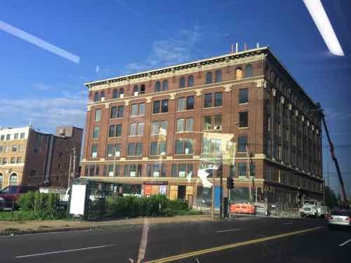
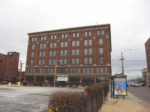
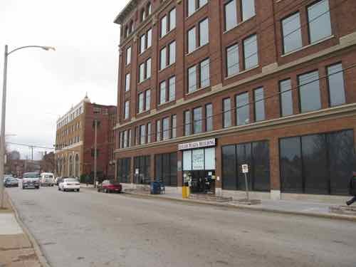
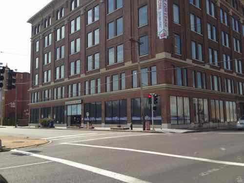
The 6-story building at Delmar & Euclid was known for decades as the Euclid Plaza Building. It was begun in 1910 as the General Van & Storage.  We know the building as 625 N. Euclid Ave, but General Van & Storage used 4908 Delmar Blvd. as their address.

Last month, while on the #97 (Delmar) MetroBus, I passed by the building and saw construction work. Sorry for the reflection from the bus window

In the early 1980s the building was redeveloped into office space by the now-defunct non-profit Union-Sarah Union-Sarah Redevelopment Corporation, headed by Nesby Moore.

Looking West toward the Euclid Ave facade on January 11, 2007

The fixed upper windows was one of the things I disliked about the 80s project, January 11, 2007

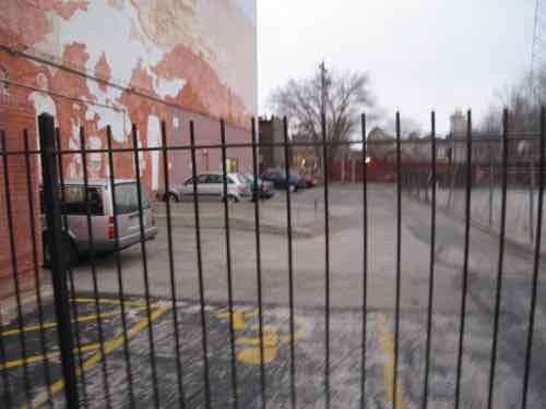
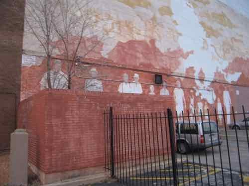
The West facade included a mural of black & white CWE figures from the early 80s, January 2007 photo

Another view of the mural, 2007

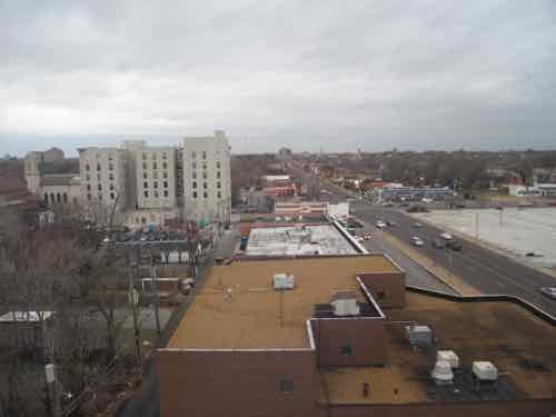
Looking West from the roof, 2007

march 18 2012
march 18 2012

At some point after the 80s renovation the owner became Del-Mar Corporation, which owned the building until it was lost at a tax sale:

Del-Mar Development Corporation (“Prior Owner”) failed to pay real property taxes on an office building it owned and the Collector of Revenue for the City of St. Louis conducted a tax sale on July 14, 1998, pursuant to the Municipal Land Reutilization Law (“MLRL”), sections 92.700 to 92.920 RSMo 2000. (casetext.com)

This building has held offices for KDHX, NAACP of St. Louis, and many others. Now, it’ll be apartments:

Best known locally for its Streets of St. Charles project, a developer from Peoria, Ill., is about to begin a loft apartment project in the Central West End neighborhood in St. Louis.

Cullinan Properties bought the Euclid Plaza building at 625 North Euclid Avenue and plans to begin renovating it within weeks. A company official said Thursday the building should be ready for tenants by late next spring.

Planned are 87 studio, one- and two-bedroom apartments with granite counters, “designer” bathrooms and 12-foot ceilings, the developer said. Indoor parking, a fitness center and a rooftop deck with a clubhouse for residents are part of the project. Cullinan calls the development the Lofts@Euclid. (Post-Dispatch)

The project should be completed by Summer, see my posts on their Streets of St. Charles project here & here.

The central lobby was very dated looking, but that’s all gone by now. I’m just glad to see the hideous fixed windows being replaced.

— Steve Patterson
 

Advertisement


[custom-facebook-feed]

Archives

Categories

Advertisement


Subscribe