East-West Gateway’s ‘Great Streets’ Examined W. Florissant In Jennings, Ferguson, & Dellwood
|
|
A reader comment on West Florissant Ave Part 2: QuikTrip to Chambers Rd alerted me to the fact the Great Streets Initiative, through the East-West Gateway Council of Governments, had recently looked at West Florissant:
Vision Statement:
The Vision for West Florissant Avenue comes from community and stakeholder input received through multi-faceted outreach efforts. These have included public workshops and virtual walking tours, interviews with community leaders, input from the Community Committee and Technical Advisory Committee, an Agency workshop, and an online survey and mapping tool. The Vision Statement has distilled this community and stakeholder input, with the most significant community values expressed as how the corridor should look, feel, and contribute to the community’s future.Project Area:
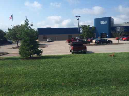
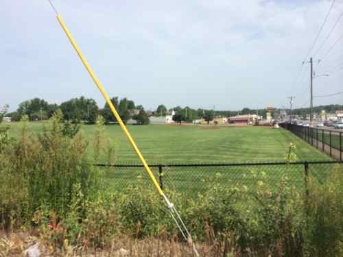
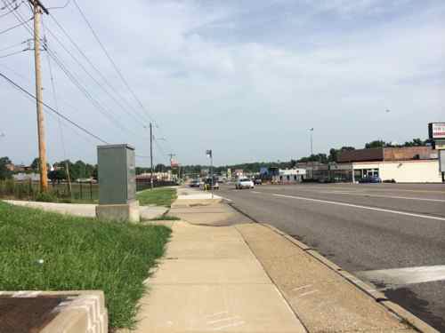
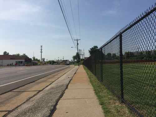
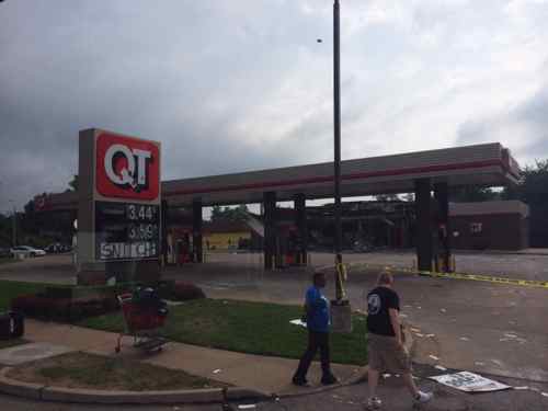
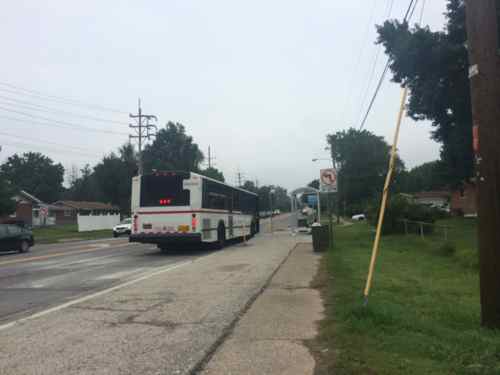
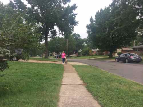
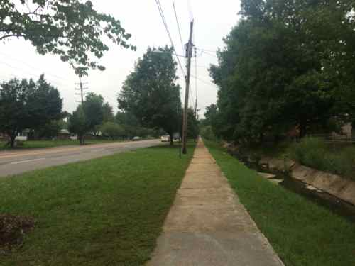
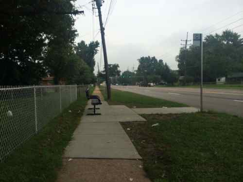
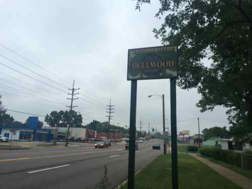
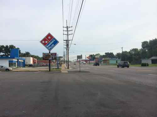
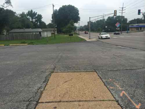
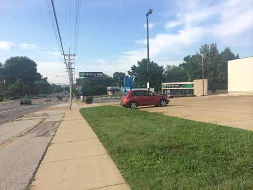
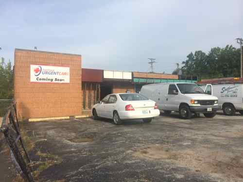
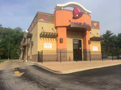
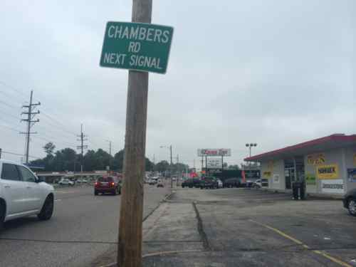
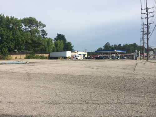
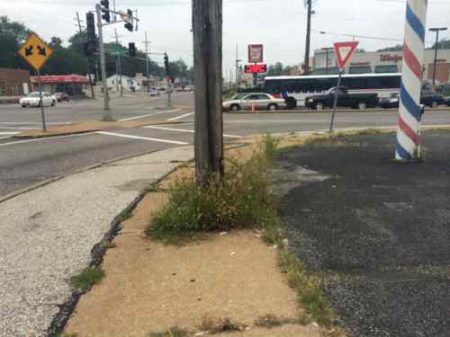
The West Florissant Avenue Great Streets Project area is located in North St. Louis County, within the cities of Ferguson and Dellwood (Map 1.1). The Project area extends for approximately 2.6 miles, beginning at I-270 in the north and continuing to the East-West rail line at Emerson Electric headquarters and Buzz Westfall Plaza in the south (Maps 1.2 and 1.3; note change in map orientation). Th e Project area includes parcels that front the corridor, plus additional parcels along the key intersecting streets of Pershall Road and Chambers Road. Th e street corridor itself is owned and maintained by St. Louis County. Th e Project area parcels are about evenly divided between the cities of Ferguson and Dellwood; a few parcels also fall within Jennings city limits at the southeast end of the corridor. Several key landmarks and retail centers are located within or near the Project area. Dellwood City Hall is near the intersection of West Florissant Avenue and Chambers Road. The Project area also includes Dellwood Park and Dellwood Recreation Center. St. Louis Community College Florissant Valley Campus is just outside the northwest end. In addition to these landmarks, there are 160 acres of open space or park within one mile of the Project area, including open space associated with Maline Creek. A major shopping center is at the northern end of the corridor, with access to I-270. Just outside the southern end of the Project area, Buzz Westfall Plaza is another major retail center. The West Florissant Avenue corridor has been designed primarily to serve motorized vehicles, which is reinforced by the direct access to and from I-270 the road provides. The corridor is served by Metro Transit bus route #74, one of the most heavily-used lines in the system, and a future transit center is planned for Pershall Road in the northeast part of the Project area; its estimated completion date is in 2015. While sidewalks are present, many other pedestrian amenities are not, and the corridor is not pedestrian-friendly. The corridor currently does not have designated bicycle facilities, and is little used by bicyclists. As communities take an increasingly holistic view of streets and incorporate more of these Great Streets principles, our streets will serve multiple functions and become better places.
The supporting documents are on their West Florissant page, I’ve uploaded each to Scribd for quick reference:
- Cover, Contents, Executive Summary
- Chapter 1 Introduction
- Chapter 2 Existing Conditions
- Chapter 3 Alternatives Analysis
- Chapter 4 Vision Framework
- Chapter 5 Concept Plan
- Chapter 6 Design Toolbox
- Chapter 7 Implementation Plan
- Appendix
The collection of the above can be viewed here.
I hope to dig into these documents soon, but I’m happy to know so much effort has already gone into planning for a better W. Florissant!
— Steve Patterson
