Redeveloping Natural Bridge & The UMSL South MetroLink Station
|
|
Considerable attention is being given to redeveloping Natural Bridge and the UMSL South MetroLink Station.
On Friday, [UMSL Chancellor] George announced that Normandy collaborators hit their $14 million goal last week to transform a portion of Natural Bridge Road between Lucas and Hunt Road and the inner belt of I-170 into a more pedestrian-friendly street.
The plan is part of the St. Louis Great Streets Initiative, a program through the East-West Gateway Council of Governments, designed to encourage community leaders to use their streets to enhance economic development and social activities in their communities. (St. Louis American)
The initial phase would be between Florissant and Hanley. In the middle is the UMSL campus and the UMSL South MetroLink station just to the south of Natural Bridge.
CMT in partnership with Metro charged a group of local experts from the ULI St. Louis Chapter called a Technical Assistance Panel (TAP) to look at the possibilities for development at the UMSL South Station. This is the second TAP that CMT and Metro have commissioned – the first at the Belleville MetroLink Station. Thanks to the AGC St. Louis for underwriting this event.
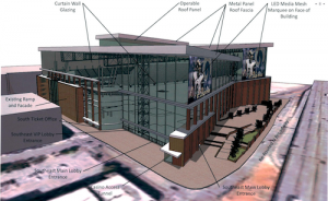
One idea presented was the possibility of rebranding the area around the station as a retail/commercial/event space as Plank Street Station. There would be a new access road that would run from Natural Bridge to the Station. The City of Normandy is willing to move their City Hall location to another area within this possible development or a different area all together. The panel suggested that Metro’s role could include building a pedestrian bridge as well as additional parking structure on the west side of the station to feed both the system and the development. (CMT-STL)
With all this interest I needed to see the area again to be able evaluate the proposals. The easiest way would’ve been to drive down Natural Bridge, but I no longer have a car. Besides, evaluating an area for a walkable district by driving is like evaluating a restaurant’s food based on internet pictures.
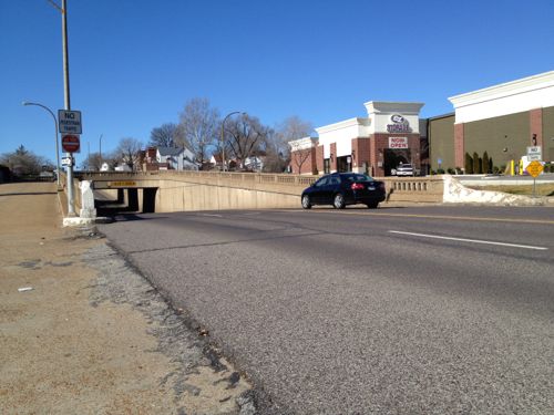
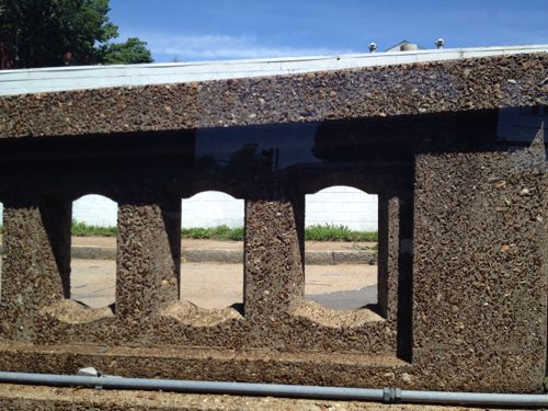
So on May 10th I caught the #4 (Natural Bridge) MetroBus on 18th at Clark and got off at Lucas and Hunt (aerial). I then “walked” in my power chair west along the north side of Natural Bridge to Hanley, crossed to the south side and returned. It was a 3.4 mile “walk” per Google Maps. I added a bit more distance by dropping down to the south UMSL MetroLink Station along the way.
During my four hour trip (end to end, with lunch) I took 382 photos, I’ll share just some here.
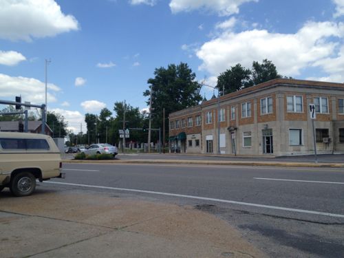
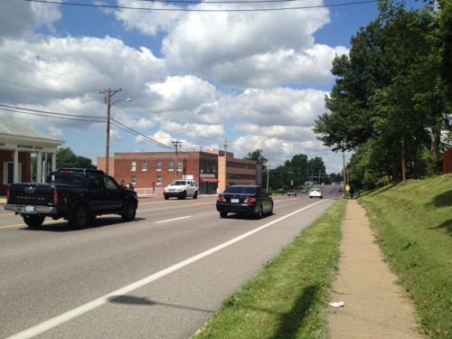
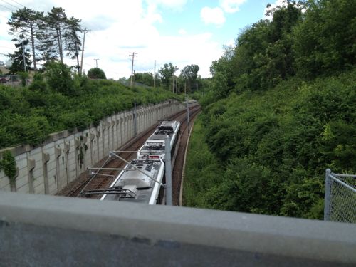
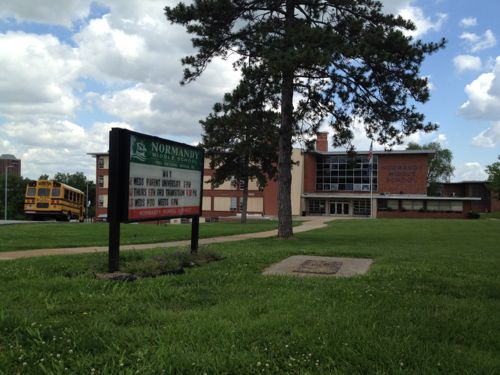
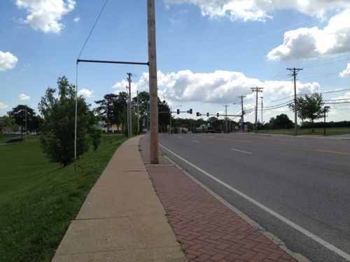
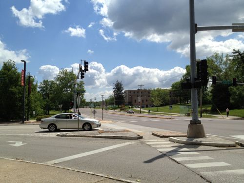
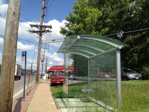
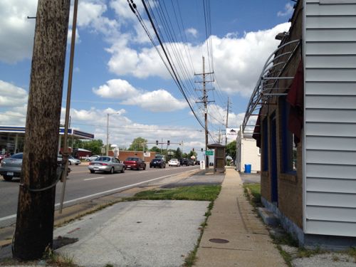
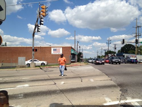
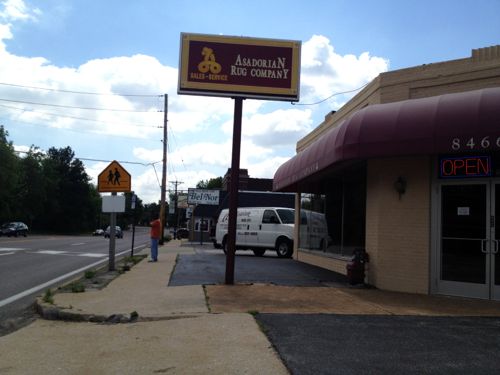
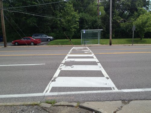
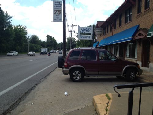
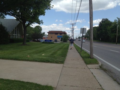
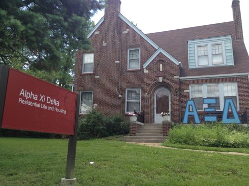
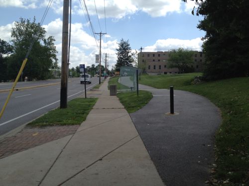
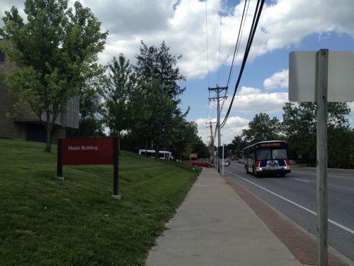
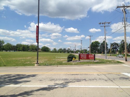
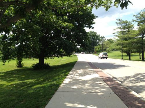
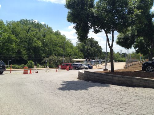
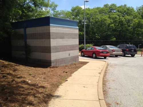
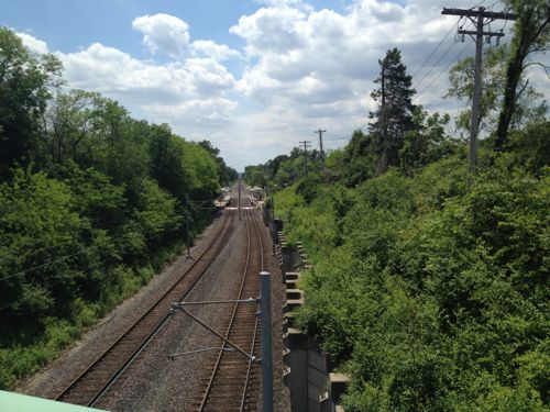
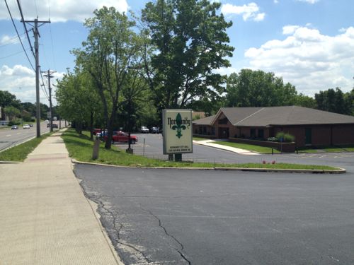
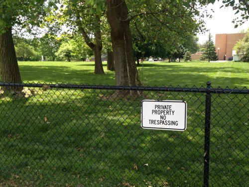
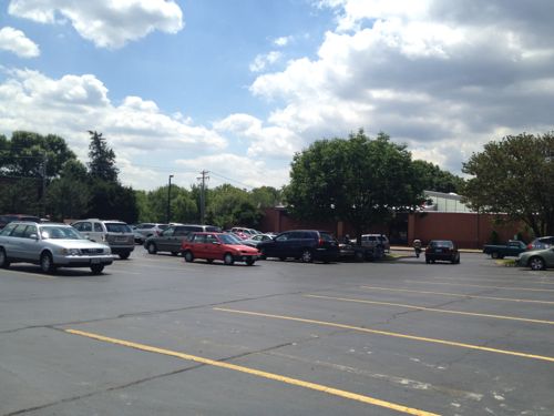
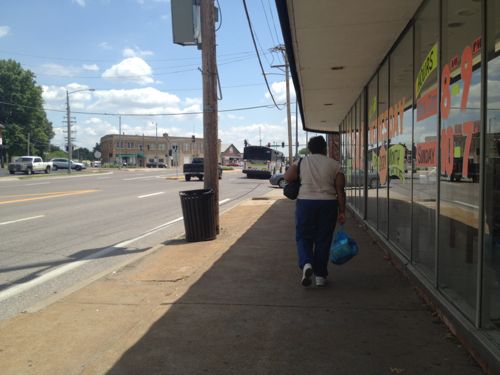
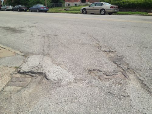
Amazingly I was able to travel more than 3 miles with only a few barriers along the way. A lack of barriers for the disabled is a good start but this is a long way from being “pedestrian-friendly” corridor. One article I read said the goal was to be more like the Delmar Loop. My guess that was more about the writer’s ignorance on the subject than a stated goal. You can make a suburban corridor attractive to pedestrians but that’s not the same as a dense commercial district.
A detailed look at Natural Bridge was done as part of the East-West Gateway’s Great Streets Initiative, see the report here. It prescribes different treatments for different areas of the corridor. The Urban Land Institute, working with Citizens for Modern Transit, took a detailed look at the existing UMSL South MetroLink station and immediate surroundings, see that report here.
I’m not yet sure the proposed ideas are the best solutions but I do know the pedestrian experience can, and should, be improved.
– Steve Patterson
