Celebrating Blog’s 19th Anniversary


  Nineteen year ago I started this blog as a distraction from my father’s heart attack and slow recovery. It was late 2004 and social media & video streaming apps didn’t exist yet — or at least not widely available to the general public. Blogs were the newest means of …

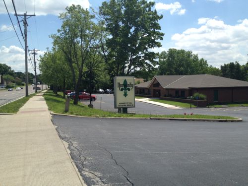
Thoughts on NGA West’s Upcoming $10 Million Dollar Landscaping Project


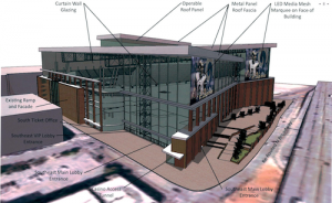
  The new NGA West campus , Jefferson & Cass, has been under construction for a few years now. Next NGA West is a large-scale construction project that will build a new facility for the National Geospatial-Intelligence Agency in St. Louis, Missouri.This $1.7B project is managed by the U.S. Army …

Four Recent Books From Island Press


  Book publisher Island Press always impresses me with thoughtful new books written by people working to solve current problems — the subjects are important ones for urbanists and policy makers to be familiar and actively discussing. These four books are presented in the order I received them. ‘Justice and …

New Siteman Cancer Center, Update on my Cancer


  This post is about two indirectly related topics: the new Siteman Cancer Center building under construction on the Washington University School of Medicine/BJC campus and an update on my stage 4 kidney cancer. Let’s deal with the latter first. You may have noticed I’ve not posted in three months, …

Recent Articles:

Redeveloping Natural Bridge & The UMSL South MetroLink Station


Considerable attention is being given to redeveloping Natural Bridge and the UMSL South MetroLink Station.

On Friday, [UMSL Chancellor] George announced that Normandy collaborators hit their $14 million goal last week to transform a portion of Natural Bridge Road between Lucas and Hunt Road and the inner belt of I-170 into a more pedestrian-friendly street.

The plan is part of the St. Louis Great Streets Initiative, a program through the East-West Gateway Council of Governments, designed to encourage community leaders to use their streets to enhance economic development and social activities in their communities. (St. Louis American)

The initial phase would be between Florissant and Hanley.  In the middle is the UMSL campus and the UMSL South MetroLink station just to the south of Natural Bridge.

CMT in partnership with Metro charged a group of local experts from the ULI St. Louis Chapter called a Technical Assistance Panel (TAP) to look at the possibilities for development at the UMSL South Station. This is the second TAP that CMT and Metro have commissioned – the first at the Belleville MetroLink Station. Thanks to the AGC St. Louis for underwriting this event.

One idea presented was the possibility of rebranding the area around the station as a retail/commercial/event space as Plank Street Station. There would be a new access road that would run from Natural Bridge to the Station. The City of Normandy is willing to move their City Hall location to another area within this possible development or a different area all together. The panel suggested that Metro’s role could include building a pedestrian bridge as well as additional parking structure on the west side of the station to feed both the system and the development. (CMT-STL)

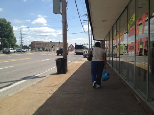
With all this interest I needed to see the area again to be able evaluate the proposals. The easiest way would’ve been to drive down Natural Bridge, but I no longer have a car. Besides, evaluating an area for a walkable district by driving is like evaluating a restaurant’s food based on internet pictures.

So on May 10th I caught the #4 (Natural Bridge) MetroBus on 18th at Clark and got off at Lucas and Hunt (aerial). I then “walked” in my power chair west along the north side of Natural Bridge to Hanley, crossed to the south side and returned. It was a 3.4 mile “walk” per Google Maps. I added a bit more distance by dropping down to the south UMSL MetroLink Station along the way.

During my four hour trip  (end to end, with lunch) I took 382 photos, I’ll share just some here.
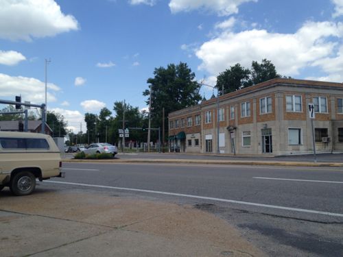
ABOVE: Intersection of Natural Bridge and Florissant has potential with mostly-urban buildings

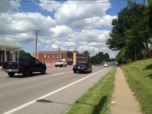
ABOVE: Sidewalks are narrow and many are adjacent to residential neighborhoods.

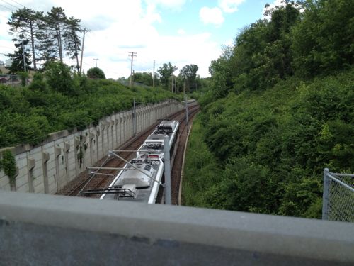
ABOVE: On the north side of Natural Bridge Rd the only sense light rail exists is if you see the power lines and/or train below

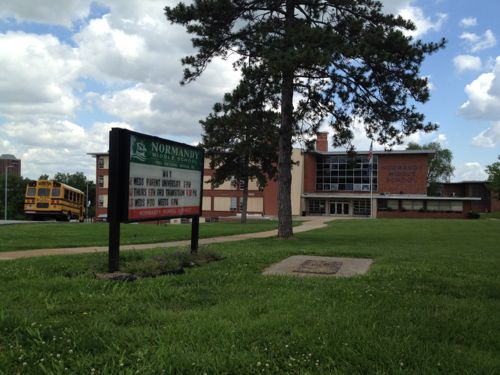
ABOVE: Two Normandy schools sit side by side west of the MetroLink right-of-way but there's no connection to it or the street

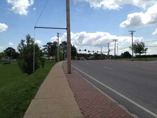
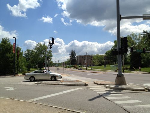
ABOVE: Far from a walker's paradise

ABOVE: Numerous lanes for autos reduces the pedestrian experience

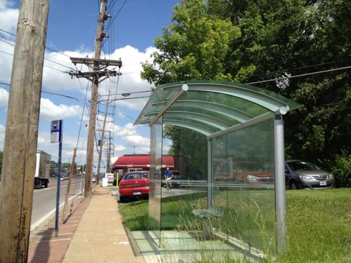
ABOVE: Very attractive glass bus shelter just east of Hanley, would make a nice greenhouse

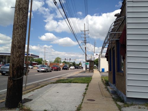
ABOVE: Commerce takes place but this isn't a pedestrian-friendly commercial district

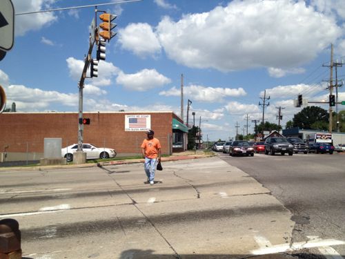
ABOVE: A man crosses Hanley heading east along Natural Bridge

ABOVE: Same man waiting for the bus a block east of Hanley

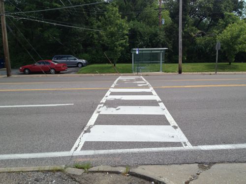
ABOVE: Pedestrian crossing at the bus stops, lack curb ramps and getting traffic to stop is nearly impossible

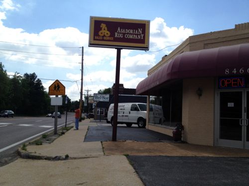
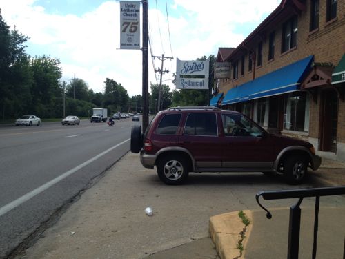
ABOVE: One of the worst areas I encountered was in front of the place I'd hoped to have lunch, but it doesn't have an accessible entrance...22 years after Pres. Bush signed the ADA

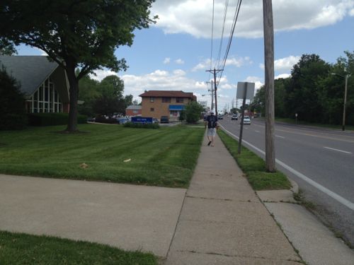
ABOVE: Pedestrian walks westbound toward Spiro's

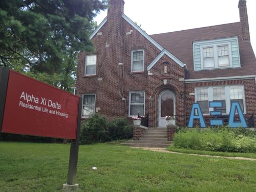
ABOVE: Some of the houses facing Natural Bridge are used for UMSL students

ABOVE: The north end of the St. Vincent Greenway, click image for more information

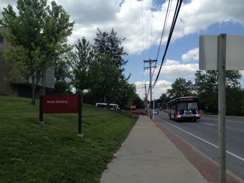
ABOVE: Like most areas, MetroBus is the primary mode of public transit

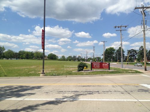
ABOVE: A huge area of undeveloped land along the south side of Natural Bridge is part of UMSL's campus and is very close to the UMSL South MetroLink station

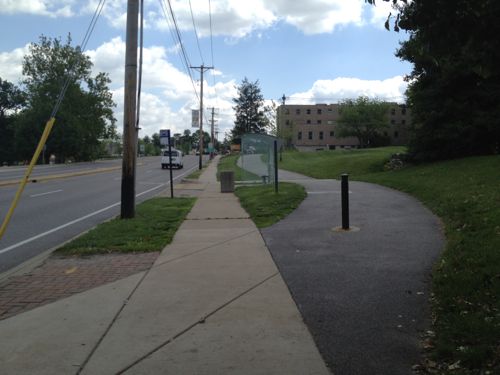
ABOVE: The sidewalk on the east side of UMSL's South Drive will lead you to the light rail station, eventually. Click image for aerial

ABOVE: Once visible the most direct path is through an unfriendly park-n-ride lot

ABOVE: The pedestrian route takes an unpleasant circuitous path

ABOVE: Back on Natural Bridge we can see the station if we squint

ABOVE: Normandy City Hall is on the east side of the tracks, it has agreed to relocate to allow development

ABOVE: A convent is pretty but unwelcoming

ABOVE: A St. Louis Library branch is set back behind a parking lot, an access route is provided for pedestrians

ABOVE: Almost to Florissant now we see buildings up to the sidewalk

Amazingly I was able to travel more than 3 miles with only a few barriers along the way. A lack of barriers for the disabled is a good start but this is a long way from being “pedestrian-friendly” corridor. One article I read said the goal was to be more like the Delmar Loop. My guess that was more about the writer’s ignorance on the subject than a stated goal. You can make a suburban corridor attractive to pedestrians but that’s not the same as a dense commercial district.

A detailed look at Natural Bridge was done as part of the East-West Gateway’s Great Streets Initiative, see the report here. It prescribes different treatments for different areas of the corridor. The Urban Land Institute, working with Citizens for Modern Transit, took a detailed look at the existing UMSL South MetroLink station and immediate surroundings, see that report here.

I’m not yet sure the proposed ideas are the best solutions but I do know the pedestrian experience can, and should, be improved.

– Steve Patterson
The End Of The Hodiamont Streetcar Right-of-Way


Forty-six years ago today the last streetcar in St. Louis stopped rolling down the streets. The Hodiamont was St. Louis’ last streetcar line. The Hodiamont ran in city streets from downtown to just west of Vandeventer Ave where it went into its own private right-of-way.

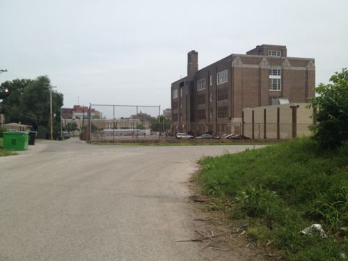
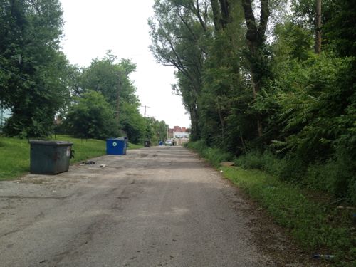
ABOVE: Looking east on the last eastern section of the Hodiamont Right-of-Way

ABOVE: Hodiamont ROW ends

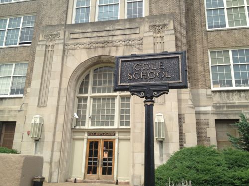
ABOVE: Cole School was built in 1936

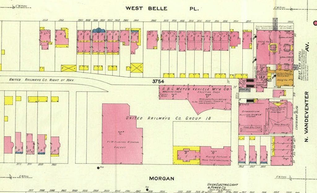
ABOVE: In 1909 the site was home to United Railways that owned the Hodiamont line. Click imaged to view larger version. Source: UM Digital Library Sanborn Maps Collection

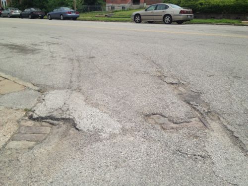
ABOVE: The streetcar tracks come out of the private right-of-way and head east on Enright Ave

ABOVE: The streetcar tracks come out of the private right-of-way and head east on Enright Ave

Eventually new rubber-tire buses with air-conditioning  replaced  the older streetcars:

Only three lines were left in April 1964, when the new Bi-State agency winnowed the system to the Hodiamont line, which ran from downtown to the Wellston Loop. Along the way through north St. Louis, the Hodiamont had its own right-of-way, like a railroad. (STLtoday.com article from 2010 — recommended)

I can’t help but wonder if running a new modern streetcar through this right of way today would make sense. Or even a bus line?

— Steve Patterson

Poll: How Should The St. Louis Region Respond To The Rams?


ABOVE: Dome would be expanded across the existing Broadway and Baer Plaza

The CVC has until June 1 to accept or reject the Rams’ proposal:

The Rams’ proposal was released against their wishes on Monday, a response to the dome improvement plan submitted by their landlord, the St. Louis Convention and Visitors Commission, in February. And the discrepancy is wide: The CVC plan called for $124 million in upgrades, 52% of which would be paid for by the Rams; the team’s plan called for a complete overhaul estimated by the city to cost more than $700 million, and it wasn’t clear how it would be funded. (USAtoday.com)

My post from Tuesday is here, it includes a link to the proposal. Who holds the cards in the negotiations?

Los Angeles is really the only viable remaining market in North America that would potentially support an NFL team and help the league generate greater revenues. If they don’t build a facility, or if they do but another franchise beats Kroenke to the punch, then Kroenke’s negotiating leverage versus the CVC will be weakened. (Forbes)

Well we’ve got great negotiators here in St. Louis! We got the Kiel Opera House 20 years ago and that vibrant Ballpark Village in 2006. Oh wait…

The poll this week asks how the St. Louis region, via the CVC, should respond. I say we wish them well wherever it is they move after the 2014 season.

– Steve Patterson


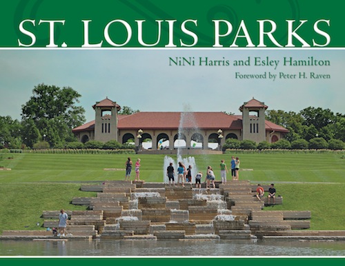
Reading: St. Louis Parks by NiNi Harris and Esley Hamilton

May 19, 2012 Books, Featured, Parks 3 Comments
 

The St. Louis region is home to many great parks and now historians (and personal friends) NiNi Harris and Esley Hamilton have collaborated on a book about parks in St. Louis city & county, respectively. The title, appropriately enough, St. Louis Parks.

ABOVE: Cover of the new hardcover book from Reedy Press, click image for publisher's page

The forward is by Peter H. Raven and the 164 page book is filled with beautiful images by photographers  Mark Abeln and Steve Tiemann.

ABOVE: Image of Fairgrounds Park by Mark Abeln

The wealth of knowledge that both Harris & Hamilton have shared is overwhelming. NiNi Harris shared this thought with me:

I love showing visitors to St. Louis around our City Parks. They are always awed by the beauty of our parks. And they are wowed by the number of parks, the variety of sizes from pocket parks to enormous Forest Park, from pedestrian parks to driving parks, from squares to linear parks. Hopefully, this book can help more people discover and enjoy this remarkable treasure.

Look for it in the library or your local bookstore.

– Steve Patterson

Beautiful Detailing On Older Infrastructure


Many of you have probably driven under the railroad tracks while traveling on Chippewa St between Gravois Ave and Meramec.

ABOVE: Chippewa going under the railroad tracks

If you’re like me you never paid much attention to the design of the underpass. But earlier this month I was on a MetroBus heading westbound on Chippewa and it had to stop at the light at Meremac (aerial) and there was the railing right next to the bus window.

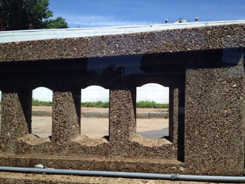
ABOVE: Close up of railing on Chippewa at Meramec

I love the detail, so much more interesting than today’s infrastructure. Seems we either get boring stuff with zero detail or over the top designs. I’d much rather see a nice balance.

– Steve Patterson

Advertisement


[custom-facebook-feed]

Archives

Categories

Advertisement


Subscribe