A few of you have expressed that you feel the weekly poll results here are predictable. Maybe you’re more perceptive than me because I couldn’t have predicted the outcome of the poll last week.
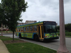
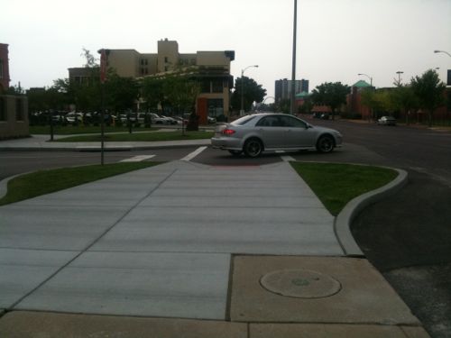
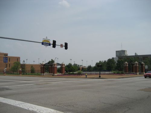
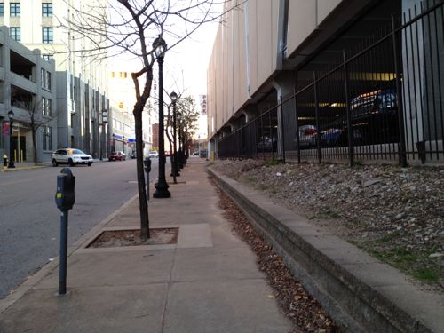
The green Forest Park Trolley loops around in the park and stops just north of the park at the Forest Park MetroLink station
Here are the final results:
Q: How should we address auto congestion in Forest Park? (Pick up to 3)
Run the existing Forest Park Trolley more frequently 44 [21.57%]
Build a trolley/streetcar circulator system within the park 35 [17.16%]
Change nothing, fine as is 32 [15.69%]
Whatever you do don’t allow overhead wires within the park 23 [11.27%]
Ban cars in the park at peak times only 17 [8.33%]
Charge a toll per car to drive into the park anytime 15 [7.35%]
Charge a toll per car to drive into the park at peak times only 11 [5.39%]
Ban cars in the park at all times 10 [4.9%]
Build an elevated monorail circulator in the park 9 [4.41%]
Build an electric bus circulator system within the park 7 [3.43%]
Unsure 1 [0.49%]
I’m not sure how I’d feel about tracks and/or overhead wires in Forest Park, but I’m pretty sure I wouldn’t like a monorail. I included that option as a joke, but 9 voted for it.
Thankfully banning cars all the time got less than 5% of the vote. Comments on the original post showed a variety of viewpoints. I think it is fair to say no consensus was reached, the top three answers above are pretty dissimilar.
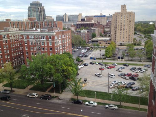
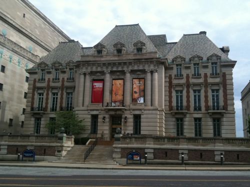
The Zoo and the Art Museum are the two biggest generators of autos, besides special events like the Ballon Glow. The Zoo will be moving most parking across I-64 and using a gondola to get people into an expanded zoo. The Art Museum opens a new wing this coming weekend with a below-grade parking garage:
The design organically links the East Building to the Cass Gilbert. A new grand staircase provides a seamless transition to the lower-level galleries, where a concourse leads to a new café, a gift shop, auditorium and the new 300-space parking garage. (West End Word)
Both of these efforts will help. I think we need a year or two of both changes and evaluate then. In the meantime I’d like to see the Forest Park Trolley become more BRT (bus rapid transit) like with actual stations, longer hours, notification of the next trolley bus, etc. Hybrid buses would be nice to reduce pollution.
As I’ve done for the last month, this is another post on potential development sites along the proposed initial route of the St. Louis Streetcar. The sections already reviewed are as follows:
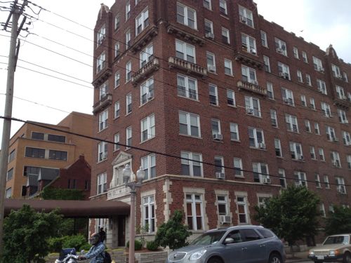
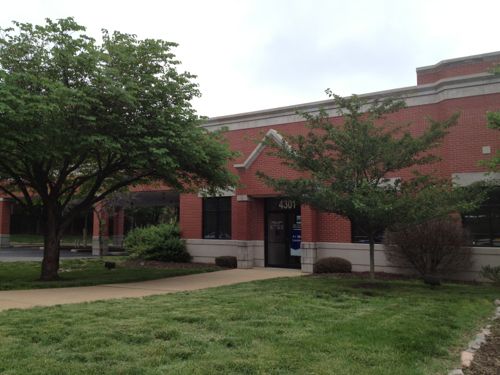
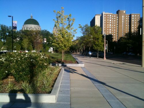
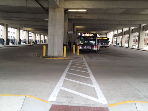
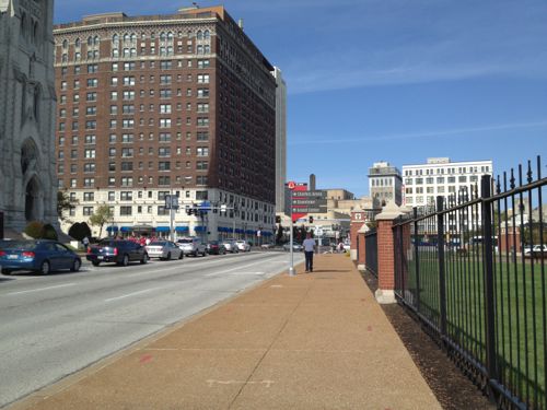
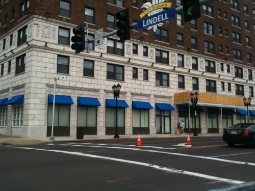
This post continues west to the end of the first phase of the route, starting at Lindell & Vandeventer to Lindell & Taylor, south on Taylor to Children’s place at the BJC hospital complex and next to the Central West End MetoBus Transit Center & MetroLink station (map).
Longtime readers know I’ve advocated a modern streetcar line for years connecting Downtown, Midtown/Grand Center, Central West End, and the Loop. My preferred route was to go north on Vandeventer then west on Delmar. I’d still like to see a streetcar on Delmar. Other options to go north from the current proposed route are at Sarah and/or Taylor. I’d like to see a decision made about future expansion so the track can be added onto without disrupting the Lindell route.
Anyway, here’s a look going west from Vandeventer:
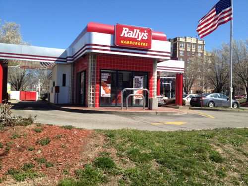
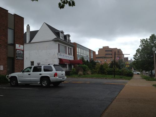
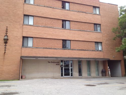
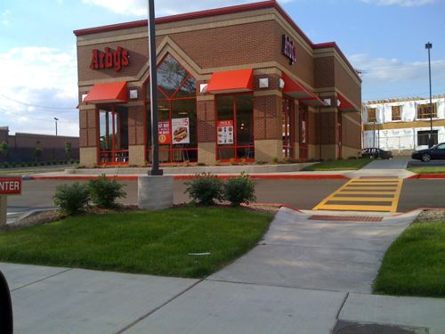
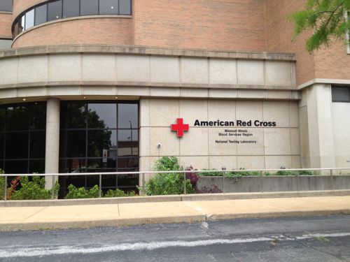
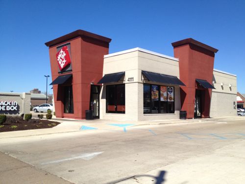
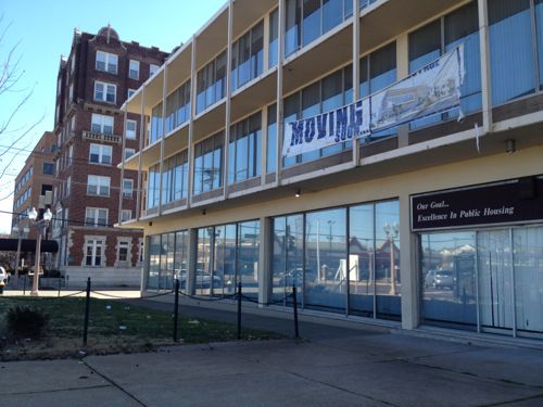
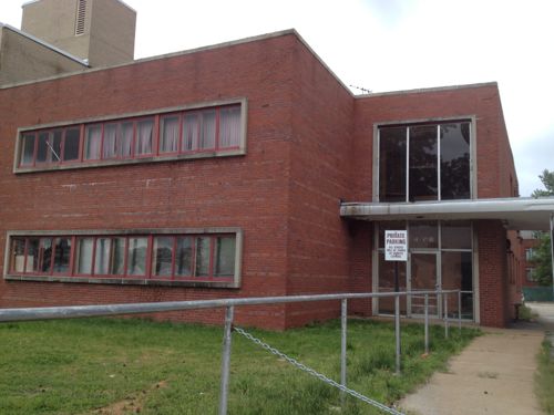
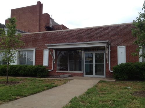
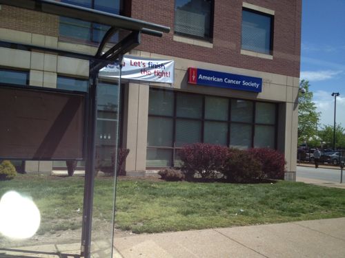
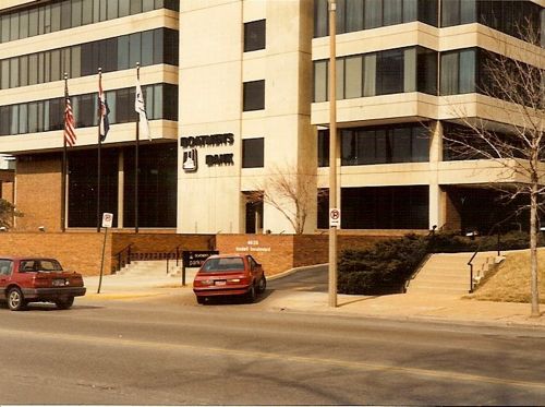
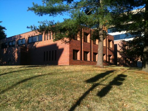
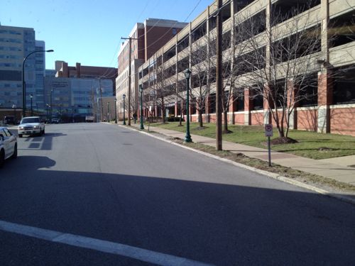
This Rally’s was built in 1993 on nearly a third of an acre site with streets on three sides (Lindell, Vandeventer, & McPherson. The land & building are owned by a firm in San Diego, CA. Given the short life expectancy of such a structure I’d expect a more urban building on this site in the first 5 years of the streetcar line.Next door the American Automobile Association of Missouri is renovating their iconic former headquarters building. CVS is building a drugstore on the west end of the site.The apartments at 3949 Lindell are being rebuilt after a 2012 fire, this is an August 2008 photo. More development of this scale will become the norm along the route, it’ll be a 10-20 year process, not overnight.A number of buildings occupy smaller lots on the south side of Lindell, these do a poor job of connecting with the sidewalkThis McDonald’s was built in 2008 on a site that is nearly an acre. McDonald’s owns the site so I wouldn’t expect to see a change for 20-30 years unless the land value increases dramatically and drive-thru sales collapseThis building, The Continental, was built in 1965. City records indicate it has 49 apartments. Density is good but it isn’t welcoming. New facade? Raze & replace?The Arby’s on Lindell, built in 2007, is also on nearly an acre siteThis American Red Cross building has good mass & density, but a poor relationship with the public sidewalk, typical for 1966.The former mansion at 4054 Lindell was built in 1896. It appears to be in decent condition so perhaps it’ll get a new owner or be razed for something more urban.The apartment building at 4066 Lindell, built in 1927, has 68 apartments. As is it provides affordable units, but renovation to go upmarket is possible, displacing low-income tenants in the process.The part of Lindell Marketplace on the east side of Sarah sits on 4.8 acres. The will get razed & redeveloped into a dense mixed-use site before the larger site to the west due to fewer tenants to inconvenience.With three outlots included, Lindell Marketplace on the west side of Sarah has 9.3 acres. It is bounded on all sides by public streets, built in 1986. Multiple ownership, anchor tenant Schnucks, and many small tenants complicate redevelopment.This Jack-In-The-Box at 4111 Lindell, built in 2011, occupies one of the three outlets.CVS wanted to raze the former Public Housing Authority building at 4100 Lindell but there was opposition. Hopefully it’ll get a nice renovation that respects the original 1957 design. I picture a ground floor restaurant with a lush patio out front, offices or apartments 0n upper floors.The 1948 building next door is more likely to get replaced than renovated.4158 Lindell is from 1948 but I see no reason why a developer shouldn’t raze it and build a mixed-use building. The Leonardo Apartments to the west is on a smaller lot and contains 34 apartments.The Walgreens at 4200 Lindell was built in 2002 on a massive 1.8 acre site. I see this as being a perfect location for Walgreens’ new upscale urban flagship format, complete with a fresh sushi bar, in a multi-story mixed-use building. Click photo for article about this new format.I’d like to see the American Cancer Society lease part of their ground floor to activate the NW corner of Lindell & Whittier StThis one-story branch bank was built in 1995 when SLU bought & razed the branch at Lindell & Grand. The site is 0.75 acres.In 2009 the San Luis Hotel was razed for a parking lot. Hopefully we’ll eventually see a new building on this siteThe Boatman’s Bank on Lindell in 1990-91, now a Bank of America, is very disconnected to Lindell.The NE corner of Lindell & Euclid was built in 1968. A high-rise was planned for this site when the economy crashed.The SW corner of Lindell & Euclid has been a parking lot for 20+ yearsThe parking lots on the east side of Kingshighway should also be considered for developmentThe west end of phase 1 would be next to the open air CWE MetroBus Transit CenterThis street would be the initial west end point, nearly zero development potential unless you’re willing to raze a garage built in 1994
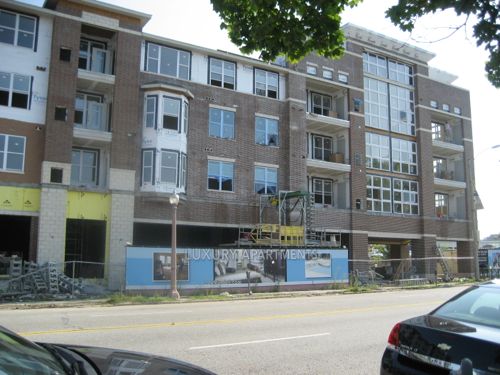
There’s much more development potential here than I originally thought, but with mixed-use projects like 3949 Lindell and the planned City Walk (with a Whole Foods) it could be argued the streetcar is needed in other areas to get development rolling.
Future installments in this series will look at:
Development potential in the downtown central business district
Some challenge/changes the streetcar will create
And a poll(s) on routes for future expansion
Still, I’m excited by the transit the streetcar could provide as well as the level of development it could spur.
Map source: Explore St. Louis, click to view original
Lately I’ve been posting about the St. Louis Streetcar, a proposed modern streetcar line that’d primarily serve the central corridor from Downtown west to the Central West End. Though the proposed streetcar route includes a spur into North St. Louis, I believe north & south sides of the city have tended to get the short end of the transit infrastructure stick. Our Metrolink light rail opened 20 years ago serving the central part of the city, and the streetcar will double-down on this area.
I’ll personally benefit since I live downtown, but I’d like better transit options for reaching destinations in north & south city. I recognize many people might live say in north city but work in south city, or vice versa. Existing bus routes like the #70 (Grand) only partially fills the transit needs of the city.
Improvement options I’ve listed in the poll are:
Nothing, doesn’t need improving
Run existing buses more frequently
Reduce/eliminate fares
Bigger articulated buses for the busiest routes
Buses that go from diesel in the county to electric via overhead wires in the city
Bus rapid transit (BRT) lines serving city neighborhoods
In-street modern streetcar lines serving city neighborhoods
In-street light rail lines running through the city to connect to the county
These answers will be presented in random order in the poll (right sidebar), you can select up to 3 choices. You’ll have the option to provide your own answer as well.
A number of years ago East-West Gateway Council of Governments studied light rail lines through North & South St. Louis to reach North & South St. Louis County, respectively, but it went no further.
So please vote in the poll, located to the right, and share your thoughts in the comments below. I’ll share my views when I post the poll results on Wednesday July 3rd.
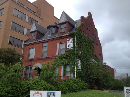
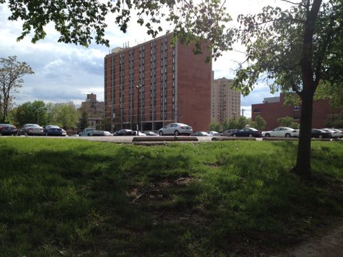
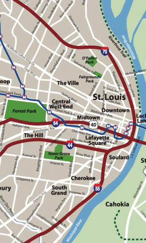
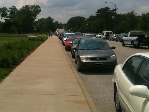
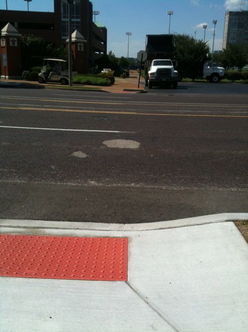
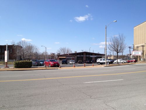
Last week Loop businessman & Loop Trolley backer, Joe Edwards, said he thinks we’ll eventually see cars banned in Forest Park. He’d like to see an electric powered trolley (aka vintage streetcar) on tracks circulating within the park. I know weekend traffic in the park can be so bad the #95 (Hampton) MetroBus reroutes to avoid going through the park. Cars are banned/limited at times — like the annual Ballon Glow.
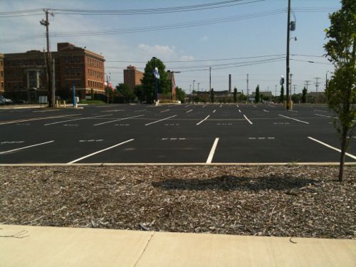
Parking along park roads or in surface parking lots can be difficult at times
Traffic can be obnoxious in Forest Park, ruining the pleasure of being outdoors to some. I recall flying back to St. Louis one night a few years ago and lighting in the parking lots stood out like a sore thumb in an otherwise dark park.
Currently the Forest Park Trolley does a decent job for those of us who enter the park without a car.
The bright Forest Park Trolley loops around in the park and stops just north of the park at the Forest Park MetroLink station. Yes, it is a new low-floor MetroBus with a cartoonish wrap.
Still, the vast majority drive into the park rather than use public transportation. This has prompted the St. Louis Zoo to buy the former hospital site across I-64/Highway 40 for additional parking with plans for a gondola to transport patrons back and forth. By eliminating some, or all, of the surface parking between the zoo and the highway the zoo can expand to the south with more exhibits.
So what are some of the options for dealing with congestion?
Bans cars at peak times or all the time
Construction of a electric trolley on a track, as Edwards suggested
Construction of an electric bus system with overhead wires like the trolley but no track
Run the existing trolley bus more frequently
Some will object to overhead wires and/or tracks, but others object to all the cars.
So this is the poll topic this week, the exact question is: How should we address auto congestion in Forest Park? I’m allowing you to pick up to 3 choices from the list. The poll is in the right sidebar.
Please take a moment to vote in the poll then share your thoughts in the comments below.
— Steve Patterson
As I’ve done for the last month, this is another post on potential development sites along the proposed initial route of the St. Louis Streetcar. The sections already reviewed are as follows:
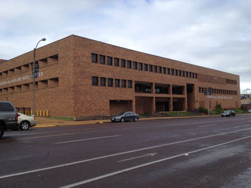
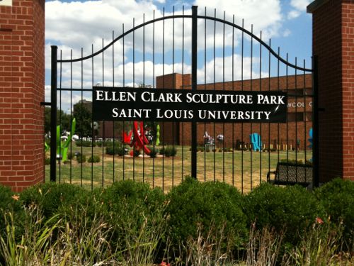
This post will cover the section from Olive & Compton to Lindell & Vandeventer (map). For those unfamiliar with the area, Olive splits off to the north but to motorists Olive becomes Lindell (pronounced Lindle). The entire south side of this stretch of Olive/Lindell is the campus of Saint Louis University (SLU). The north is a mix of SLU, private, and institutional properties.
We’ll start at Compton and head west.
Massive SLU parking garage could be fronted with a shallow “liner building” to create a relationship with the sidewalk.
The buildings & land on the other side of Lindell from SLU’s Compton Garage are ripe for development, I’m just lacking images of them.
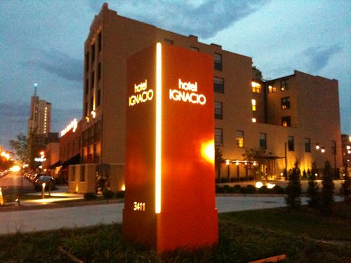
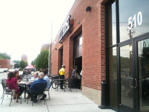
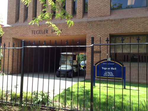
The intersection where Olive splits off to the right was redone a few years ago.gLooking the opposite directionIt shouldn’t take a streetcar to make it safeHotel Ignacio is just part of the development activity that has taken place here.The Field House Pub & Grill at 510 N. Theresa is an example of positive things already underway in MidtownThe streetcar can help the existing momentum and reduce the need for the excessive amount of surface parking.SLU could reskin this former state office building at 3545 Lindell, adding storefronts and new floors.The SLU campus east of Grand has a prison feel, fences everywhere. SLU could remove the fencing to connect to the street, like the campus west of Grand.With a new building on the right, street trees along Grand would make this a pleasant route to take to reach the streetcarIdeally SLU will build a new building on the SE corner of Lindell @ GrandAs well as the NE corner. I’d love to see a Trader Joe’s on the ground floor, with apartments above.
The corner of Lindell & Grand should get major new buildings. There are already substantial buildings in the area, especially to the north & west. These two corners were land banked by SLU so the streetcar is the perfect time to withdraw them and put them to good use activating the intersection.
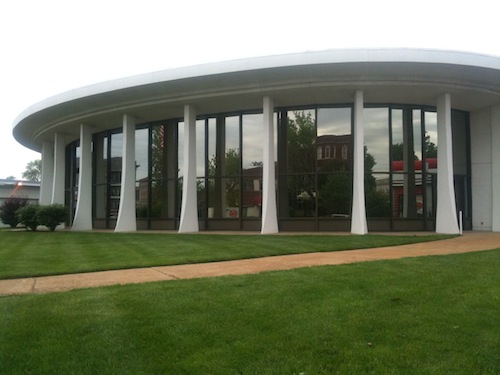
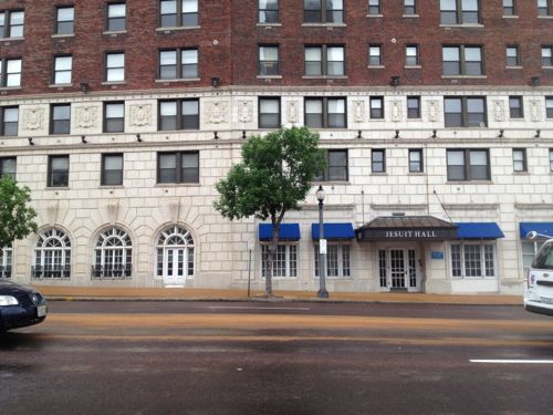
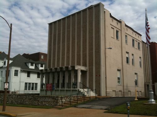
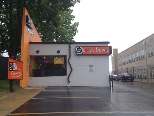
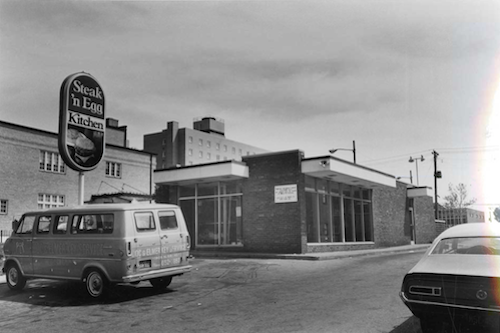
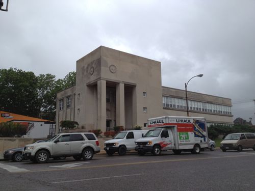
I’d love to see the ground floor of Jesuit Hall activated with a cafe or bakeryThe Lindell facade of Jesuit Hall also has opportunities for activity.The Masonic garage on Olive is awful, I can’t see this staying long-termThis section of Lindell has some stunning buildings, this is SLU’s museumThe few gaps can be filled in with massive structures, student housing over retail would be nice at Lindell & SpringMaybe we can widen the sidewalks along SpringEventually the owner of the auto repair shop at 3699 Olive @ Spring will retire and sell.The Coronado was vacant for years until the Gill’s renovated.Hopefully someone will find the right formula for the lower level space, several places have failedA few years ago SLU razed two buildings here to make room for expansion of the law school. With the law school opening downtown this land plus the old law school are availableThe various modifications to the 1914 structure at 3765 Lindell has made it rather odd looking.The Crazy Bows & Wraps location might be developed. This 1961 structure was extensively remodeled in the 90s.In 1978 it was mentioned in the Midtown Historic District nomination as a “unfortunate intrusion which should not have been allowed”, click image to view district nomination.This building, originally built for the Brotherhood of Railway & Airline Clerks, contributes to the 1978 midtown historic district. This building should be saved as it contributes to both Lindell & Vandeventer.
An interesting paragraph from the 1978 midtown nomination:
Unfortunately, Midtown is still perceived by many as a dangerous area riddled with street crime and all manner of urban ills, the most prominent of which is the current “black sploitation” fare served at the Fabulous Fox. In spite of this onus, a 1977 walking tour sponsored by the St. Louis Chapter of the American Institute of Architects and New Town/St. Louis, Inc. drew hundreds of curious and concerned
St. Louisans to Midtown. The solution for the revitalization of existing structures and the continuing education of the general public will not be easy, but to abandon Midtown is to dismiss one of the strongest concentrations of architecturally significant buildings in St. Louis.
There is more developable area north of Lindell and west of Spring, both vacant buildings and vacant land.
AARP Livibility Index
The Livability Index scores neighborhoods and communities across the U.S. for the services and amenities that impact your life the most
Built St. Louis
historic architecture of St. Louis, Missouri – mourning the losses, celebrating the survivors.
Geo St. Louis
a guide to geospatial data about the City of St. Louis